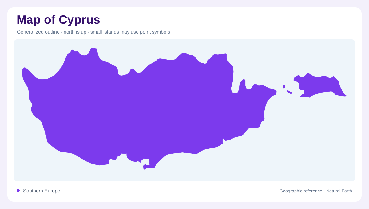
An eastern Mediterranean island
Cyprus lies in the eastern Mediterranean, where a single island outline contains contrasting mountain and lowland landscapes. Its physical geography is organized around the Troodos and Kyrenia ranges, with the Mesaoria plain between them. Coastal plains occupy narrower strips between uplands and the sea. These landforms offer a clearer starting point than administrative coloring alone. The island also has a complex political geography, including a United Nations buffer zone. Physical relief and lines associated with the division of the island should be interpreted separately. A mountain range describes terrain; a ceasefire line records a different kind of geographic information.
Troodos dominates the higher interior
The Troodos range rises in the central part of Cyprus and contains the island's highest terrain. Its elevation influences temperature and rainfall, distinguishing it from lower coastal and eastern environments. Winter precipitation can fall as snow in the mountains, while summer conditions across the island are generally hot and dry. The range is therefore more than a cluster of summit labels: it creates a distinct climatic setting. A detailed relief view also reveals slopes and valleys within the massif. Treating Troodos as one undifferentiated elevated patch would conceal the local changes in exposure and height that contribute to its geographic character.
Kyrenia and the plain between ranges
The Kyrenia range forms the northern mountain belt. Between it and Troodos, the Mesaoria plain provides a broad lower area extending across the island's interior. Its position explains the relationship between two separate ranges rather than one continuous mountainous center. The plain rises inland from lower coastal levels, so the term does not imply a level surface throughout. A crosswise view of Cyprus makes the sequence apparent: coast, northern range, intervening plain and higher Troodos country. This structure is especially useful for understanding why places at similar latitudes can occupy different topographic settings within the same Mediterranean island.
Coastal lowlands and seasonal rainfall
Narrower fertile plains occur between mountain slopes and the sea. Their coastal position contrasts with the inland Mesaoria, despite both being lower than adjoining uplands. Rainfall varies considerably across Cyprus, with wetter mountain conditions and drier eastern areas. Most precipitation arrives during winter, leaving a pronounced summer dry season. This annual pattern matters when interpreting vegetation and watercourses: a channel shown on a map does not establish continuous summer flow. The island's climate is broadly Mediterranean, but relief creates local differences within that shared seasonal rhythm. Reading rainfall alongside elevation avoids assigning identical conditions to the coast, plain and mountains.
The buffer zone is a separate map layer
The United Nations buffer zone extends across Cyprus and passes through Nicosia, varying greatly in width. Its boundaries reflect ceasefire positions rather than a natural valley or watershed. In the east, the British Sovereign Base Area of Dhekelia interrupts the zone. Some buffer zone areas contain habitation or agricultural activity, while others are little disturbed. A map should therefore avoid portraying the entire strip as one uniform empty landscape. These distinctions do not require treating a line as proof of universally agreed sovereignty. Keeping the buffer zone separate from relief preserves the difference between the island's physical structure and its political geography.