An inland crossroads of physical regions
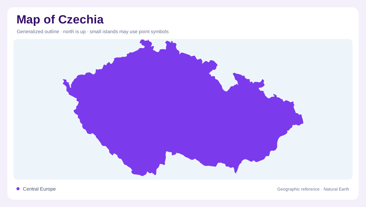
Czechia occupies an inland position in Central Europe, between major mountain systems and several biogeographic influences. Its small territory contains varied geology and landforms, rather than one continuous central plain. Mountains, hills and river systems shape the national geography together. The older name Czech Republic appears in many official environmental reports and refers to the same country. At regional scale, its location helps explain why terrestrial habitats and migration routes meet here. At closer scale, watershed divides and valleys give that central European position a concrete form, connecting separate parts of the country with different downstream regions beyond its borders.
Bohemia and Moravia have different terrain
Bohemia occupies the western part of Czechia, with rolling plains, hills and plateaux enclosed by mountain country. Moravia, in the east, has a strongly hilly landscape of its own. These historical regions provide a useful physical orientation without replacing modern administrative boundaries. Snezka marks the country's highest summit, while the Labe, also called the Elbe, supplies a lower river reference. Prague, Brno and Ostrava identify major settlements within the wider national picture. The resulting landscape is neither a uniform basin nor an uninterrupted mountain block: uplands, lower ground and river valleys create the regional contrasts visible across this central European country.
Three destinations from one watershed region
Around Kralicky Sneznik in the northeast, the European watershed separates runoff ultimately reaching three different seas. The side of the divide on which rain falls determines its downstream destination. This gives a small upland area continental significance. The divide is not necessarily obvious from a map showing only national borders, because catchment boundaries follow topography. A drainage view reveals those connections more directly. Czechia's inland position therefore does not make its waters isolated: rivers carry them into larger systems beyond the country. Understanding the divide explains how neighboring slopes can participate in geographically distant marine drainage networks across Europe.
Ponds and reservoirs modify the water map
Czechia contains fishponds and reservoirs in addition to natural and modified river channels. These water bodies reflect a landscape shaped by human activity as well as relief. They should not all be read as naturally formed lakes. A pond cluster, a river reservoir and a stream valley represent different spatial relationships, even if their water surfaces share the same map color. The surrounding catchment remains important because it supplies runoff and sediment. This combination of managed water and flowing channels adds detail to the broader watershed pattern, making the country's hydrology more intricate than its principal rivers alone would suggest.
Forests and farmland across varied terrain
Forests and agricultural land occupy much of Czechia's surface, with their distribution shaped by both environmental conditions and long human use. The country lies at a meeting point of biogeographic regions, so ecological transitions do not simply match administrative borders. Changes in geology and terrain can influence habitats within a short distance, while rivers connect those areas through valleys. Viewing land cover alongside the watershed framework reveals a landscape of interacting uplands, cultivated ground and managed waters. The result is a geographic picture centered on the country's physical relationships, rather than an assumption that inland Central Europe is environmentally uniform.