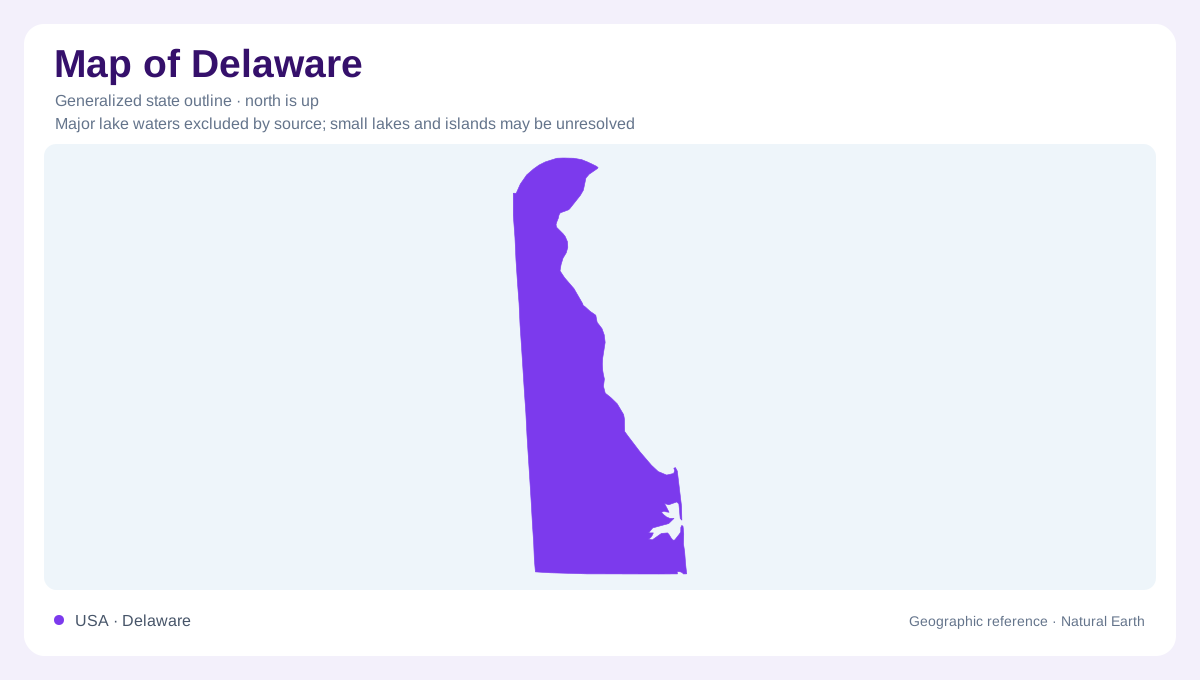
A small northern upland and broad coastal plain
Delaware joins two major physical regions within a narrow state: the Appalachian Piedmont and Atlantic Coastal Plain. Northern hills expose hard crystalline rocks, while sediments cover the broader lowland region to the south. The transition is called the fall zone. This geological division is more informative than an assumption that Delaware is uniformly flat because it is small and coastal. Its northern terrain belongs to a much larger upland system extending beyond the state, with rock structures continuing across modern administrative boundaries. Farther south, the landscape reflects successive deposits from rivers and seas, with older rock buried below layers that thicken toward the coast.
The fall zone connects land and settlement
At the fall zone, Piedmont rocks descend beneath Coastal Plain sediments. Historically, this transition influenced the reach of waterborne transport and the availability of waterpower. Settlements could combine access to fresh water, nearby rock resources, and tidewater commerce within a relatively restricted corridor. The Delaware Geological Survey identifies this relationship as central to understanding the region's development. The fall zone is therefore both a geological contact and a useful explanation for settlement patterns. It should not be imagined as a continuous waterfall: individual streams encounter the transition differently, and the broader zone includes varied landforms rather than one uniform step.
What the northern high point actually means
Near the Pennsylvania boundary, Ebright Azimuth provides a reference for Delaware's highest ground. There is an important distinction between the surveyed benchmark and the surrounding land. The geological survey identifies slightly higher terrain west of Ebright Road, so the marker itself should not be treated as the exact highest natural surface. This is a useful example of geographical precision in a low relief state. A small difference in elevation can matter when discussing a high point, even though it scarcely changes the overall landscape. Northern Delaware's prominence comes from modest hills rather than a conspicuous isolated mountain summit.
Sediment layers beneath the southern landscape
Delaware's Coastal Plain records repeated changes between river, swamp, coastal, and marine environments. Early sediments arrived from the Appalachian region, and later advances of the sea spread additional deposits across the state. Sand layers within these formations hold groundwater, making the buried sequence relevant to everyday geography. The Potomac aquifer supplies parts of New Castle County, while other sandy formations underlie southern Delaware. Kent and Sussex counties also contain the shallow Columbia aquifer. Understanding the plain requires this vertical perspective: a gently varying land surface can overlie several distinct water bearing layers deposited under very different environmental conditions.
Glacial influence without an ice sheet overhead
Delaware's recent geological history was influenced by glaciers farther north. Rivers transported sediment associated with changing climates and glacial drainage, while cold, windy conditions produced dunes and permafrost features within Delaware itself. These effects should be distinguished from a claim that continental ice covered the entire state. Changing sea levels also shifted shore environments across the Coastal Plain, leaving deposits that record earlier coastlines. The modern outline is consequently one stage in a longer history of erosion and accumulation. Reading Delaware through northern bedrock, the fall zone, buried aquifers, and coastal sediments reveals geographical complexity that its modest dimensions conceal.