A vast interior with a small ocean opening
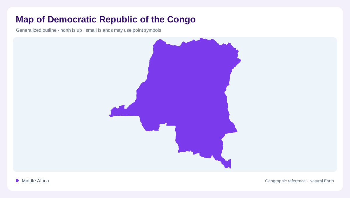
The Democratic Republic of the Congo straddles the equator in Central Africa. Its enormous interior contrasts with a short Atlantic coastline, making the country's outline easy to misread as entirely landlocked. The Congo River connects the central basin with that western outlet, while the eastern edge reaches high mountain country. This territorial unit must also be distinguished from the neighboring Republic of the Congo. The shared river name identifies a larger geographic system rather than one country alone. An overview that includes the ocean opening and eastern uplands communicates the republic's range better than a tightly framed image of forest.
The forested central depression
A broad alluvial depression forms the country's central physical region. Equatorial forests and marshes occupy much of this comparatively low terrain, with a dense network of waterways collecting drainage from surrounding areas. The basin is not a uniformly dry forest floor: wetlands and river margins are integral parts of its geography. Elevation differences within the lowlands can be modest while still influencing where water accumulates. A forest cover map and a drainage map therefore answer different questions. Together they reveal a central landscape in which vegetation and surface water overlap, rather than forming neatly separated green and blue geographic zones.
Plateaux north and south of the basin
Higher plateau country borders the central depression to the north and south. Savanna environments become more prominent away from the equatorial core, providing a contrast with the central forest and marsh landscape. These plateaux are stepped uplands rather than a continuous ring of alpine mountains. Their relationship to the basin explains why tributaries converge from a broad surrounding area. The north and south should also remain separate in interpretation: their position on opposite sides of the equator influences seasonal patterns. One climatic description for the entire national territory would hide this variation between the central lowlands and their upland margins.
Eastern mountains and a continental watershed
The eastern and northeastern highlands introduce the country's most pronounced relief. In the Kivu region, mountainous and volcanic terrain contrasts sharply with the broad central depression. High ground also separates parts of the Congo drainage from the Nile basin. This is a continental watershed distinction, not simply a local change in slope. A national map centered on the Congo can easily conceal the smaller portion connected to another major river system. Showing the eastern divide makes that relationship explicit. The republic's hydrology is dominated by the Congo, but its eastern geography also belongs within a wider understanding of African drainage.
A river system larger than its namesake country
The Congo's tributary network extends across several neighboring countries before water reaches the Atlantic. National borders consequently divide a connected physical basin. The river's lower course and the narrow coastal opening provide an outward connection from an immense interior, while the basin's forest, marshes and plateau tributaries give it breadth. A map that traces only the main channel misses much of that structure. The most useful geographic reading holds these scales together: a short coastline, a continental river system, a low central depression and high eastern divides. Their combination explains why the country cannot be represented by one landscape alone.