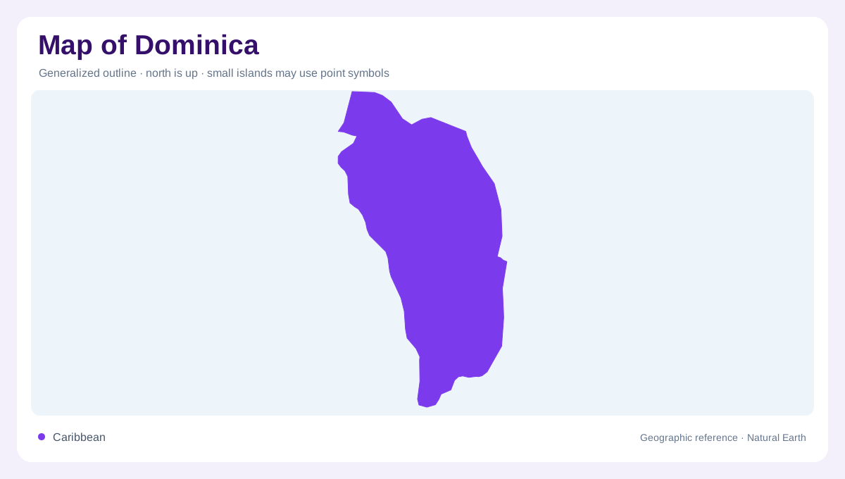
Between Guadeloupe and Martinique
Dominica lies in the eastern Caribbean between the French islands of Guadeloupe and Marie Galante to the north and Martinique to the south. Roseau is its capital. This location distinguishes Dominica from the Dominican Republic, which occupies part of Hispaniola much farther northwest. The island is elongated rather than circular, and its mountainous interior gives it strong relief within a relatively small area. A regional locator establishes its place in the island chain, while an elevation map explains the local geography. Those two views answer different questions: where Dominica sits among neighboring islands, and how its own terrain is organized.
A mountainous volcanic interior
Forested mountains run broadly north to south through Dominica. Mount Diablotin and Morne Trois Pitons are prominent high points within this rugged interior. Volcanic vents and hot springs express a geological setting that differs from low coral islands elsewhere in the Caribbean. Steep slopes separate nearby valleys, meaning horizontal distance alone communicates little about the intervening terrain. A map centered on the coast can make the interior appear deceptively empty if it lacks relief. Showing the mountain framework reveals the landforms behind the shoreline and explains why separate coastal catchments can lie close together while remaining divided by substantial ridges.
The Layou provides an inland opening
The Layou River drains westward through a central break in the mountain country. This valley provides a useful contrast with the steep ridges around it and helps organize the island's middle. It is one basin among many, not a river draining the whole island. Dominica's topography divides rainfall into numerous separate catchments that reach different parts of the coast. Following the Layou upstream makes one of those relationships visible in detail. Comparing its valley with adjoining uplands also shows why the interior cannot be represented solely by summit symbols: lower corridors are equally important to the shape of the landscape.
Many rivers descend toward different shores
The Indian, Picard, Roseau, Pagua, Castle Bruce and Rosalie rivers illustrate the variety of Dominica's drainage. Most waterways begin on central mountain slopes, while some emerge from springs in lower valleys. This creates a dense network around the island rather than one dominant continental style river. Each river mouth connects a particular inland catchment with the sea. Their names help identify different sectors of the coastline, but the water network extends beyond the visible main channels into smaller tributaries. A close map can show that branching structure and distinguish adjoining basins which may merge visually on an island wide overview.
Rainfall follows the mountain structure
Moist maritime air and mountain relief produce strong rainfall differences between coastal areas and higher ground. Dominica's interior can be exceptionally wet, while elevation also moderates temperatures compared with the shore. The result is a set of local climatic environments within a shared tropical maritime setting. Steep, wet slopes are also relevant to erosion and landslides, although a geographic description cannot establish current conditions at a particular place. Forest cover, valleys and rainfall belong in the same interpretation. Read together, they explain an island whose water abundance and deeply divided terrain are closely connected, rather than independent scenic characteristics alone.