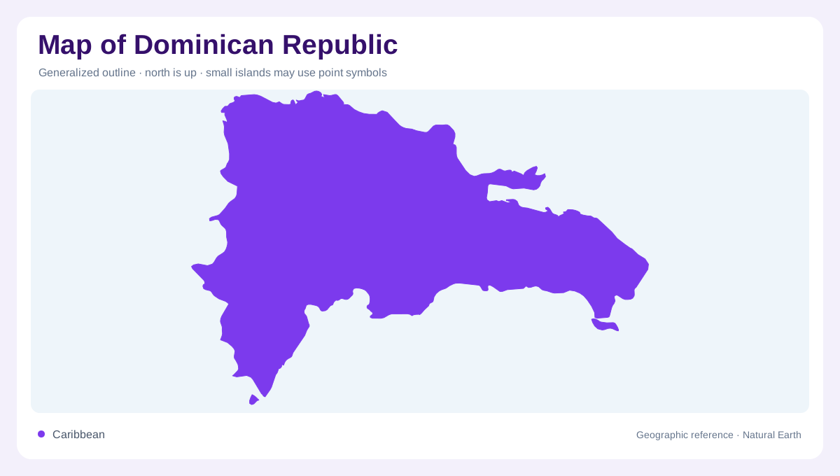
The eastern part of a shared island
The Dominican Republic shares Hispaniola with Haiti. Its northern shore faces the Atlantic, its southern shore the Caribbean, and the Mona Passage lies to the east. The country's boundary therefore differs from the outline of the island as a whole. A regional map should preserve Haiti's neighboring position without implying that the Dominican Republic occupies all Hispaniola. Santo Domingo provides the capital reference within this geography. The contrast between northern and southern marine margins is also important: labeling the entire surrounding sea simply Caribbean hides the island's Atlantic side and the passage separating it from land farther to the east.
Northern range and the Cibao valley
The Cordillera Septentrional runs broadly parallel to the Atlantic coast. Inland from it, the Cibao valley lies between that northern range and the Cordillera Central. This arrangement makes the valley a feature in its own right rather than leftover space between mountains. The Yaque del Norte and Yuna are prominent names in the country's northern water geography. Their basins give the landscape structure beyond province boundaries. A relief map shows how elevated ground and lower corridors alternate across the northern country. The coast, range and valley form distinct zones even though they occupy neighboring positions within the national outline.
The Cordillera Central and southern valleys
The Cordillera Central occupies a broad part of the interior and includes Pico Duarte. Its high ground contrasts with the lower coastal environments familiar from many images of the country. Southward, the San Juan valley lies between the central mountains and the Sierra de Neiba. Rivers such as the Yaque del Sur and San Juan belong within this wider southern drainage geography. The relationship between ridges and valleys matters more than any single peak label. Cross sections across the interior reveal alternating high and low terrain, explaining why a direct line across the map can span several very different physical settings.
Enriquillo between southwestern ranges
The Enriquillo basin lies between the Sierra de Neiba and the Sierra de Bahoruco in the southwest. Its comparatively dry conditions differ strongly from wetter areas in the eastern mountains. These adjacent ranges continue a broader mountain geography across Hispaniola, reminding readers that physical features do not stop at the Haitian boundary. A national rainfall average would conceal the southwest's distinctive environment. The basin is consequently useful as a separate geographic reference, alongside Cibao and San Juan. Together, these lowland corridors and depressions give the country's interior a more complex form than a continuous mountain mass surrounded by tropical shoreline.
Eastern uplands and Caribbean terraces
The Cordillera Oriental occupies the eastern country, while a broad coastal plain extends toward the Caribbean. Terraces contribute to this southern lowland landscape, creating a different form from the steep central mountains. The Ozama and Nizao are important river names within the southern drainage framework, while reservoirs occupy additional managed water settings inland. Their presence should not blur the distinction between river basin, coastal plain and mountain range. Reading those features together completes a geographic account that includes both sides of the island, several interior valleys and the southwestern basin, instead of reducing the Dominican Republic to one coastal environment.