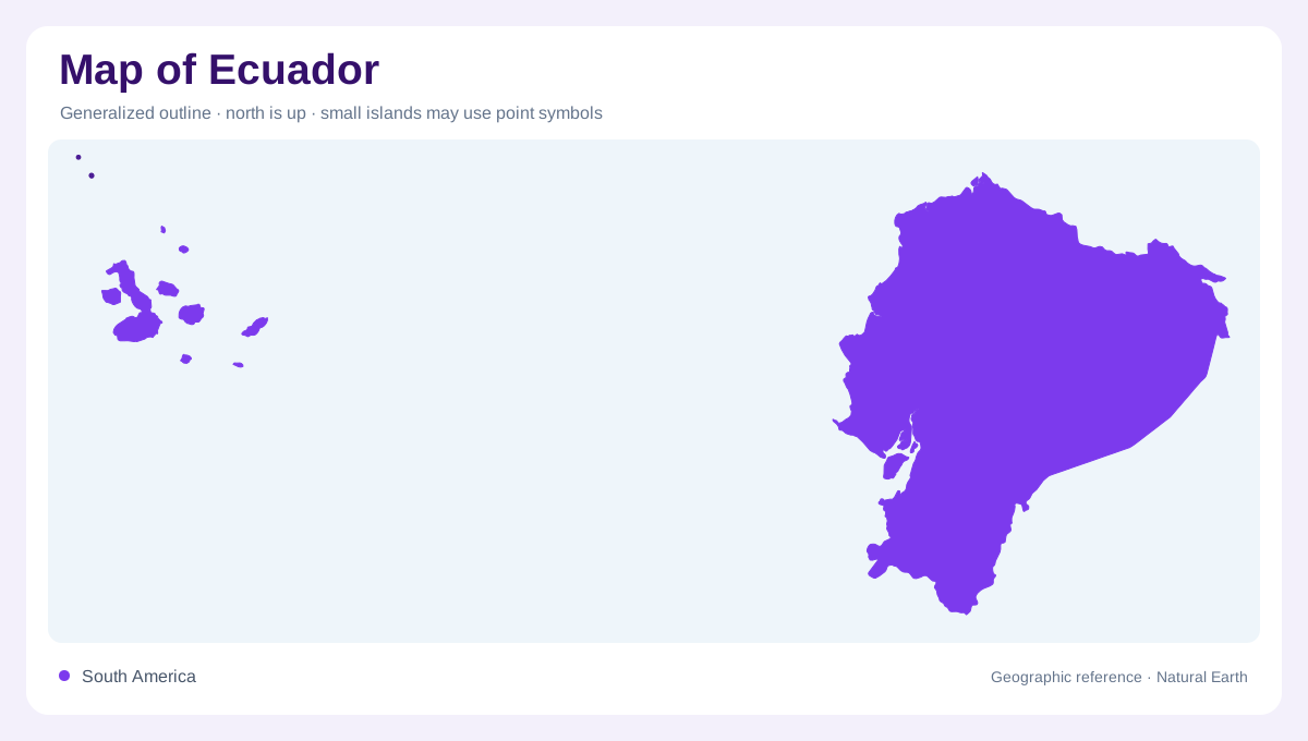
A mainland and an oceanic archipelago
Ecuador's continental territory lies between Colombia and Peru on the northwestern side of South America. The Pacific borders its west, but the national geography also extends offshore to the Galapagos archipelago, roughly a thousand kilometres from the mainland. A continental outline alone consequently leaves out a component. The islands require a separate frame with their position in the wider ocean made clear. On the mainland, the Andes divide coastal country from eastern Amazon drainage. These relationships produce four geographic settings: coast, highlands, eastern lowlands and oceanic islands. They are connected nationally while differing substantially in terrain and spatial scale.
The coastal side of the Andes
West of the mountains, the Costa extends from Andean foothills toward the Pacific. Its plains and river basins create a different landscape from the high interior. Conditions are not identical along the entire coast: FAO identifies water deficits in parts of Manabi and around areas east and south of the Gulf of Guayaquil. That variation cautions against treating proximity to the equator as proof of uniformly abundant water. The coast includes several drainage systems, each with its own catchment. Following them inland reveals how mountain rainfall, lower valleys and the Pacific margin participate in connected but distinct water cycles.
Highlands form a major divide
The Sierra, or inter Andean region, organizes Ecuador's mainland relief. Quito identifies the capital within this national geography, while the mountains create contrasts in elevation that a latitude map cannot express. High ground separates waters heading toward the Pacific from waters entering the Amazon system. The divide is therefore simultaneously a topographic feature and a boundary between continental drainage directions. A route drawn across the mainland crosses more than an administrative region: it passes between different slopes and river networks. Detailed elevation mapping makes that transition visible, especially where valleys interrupt the apparent continuity of the mountain belt at closer scales.
Rivers leaving toward the Amazon
Eastern Ecuador belongs to the Amazon drainage domain. Rivers including the Napo, Pastaza, Tigre, Morona and Santiago carry water onward toward Peru and the larger continental system. Their downstream connections give this comparatively narrow country an influence extending far beyond its borders. The Putumayo provides another important relationship along the Colombian frontier. Unlike the western rivers approaching the nearby Pacific, these eastern waterways participate in a much longer passage across South America. A map centered exclusively on Ecuador's coast would conceal that orientation. Showing neighboring drainage reveals why the Andes divide two very different geographic journeys for the country's rainfall.
Water patterns across national boundaries
Not every crossborder river connection is eastward. The Mira continues toward Colombia, while southern Pacific drainage includes the Chira system, known upstream in Ecuador as the Catamayo. These examples complicate a simple picture of water descending straight west or east within national borders. Basin boundaries follow relief, and their tributaries can cross political lines. Offshore, the Galapagos remain a separate island environment rather than an extension of those mainland river systems. Combining a continental watershed view with an oceanic locator therefore represents Ecuador more faithfully than one tightly cropped outline. The result preserves both its Andean structure and its archipelagic reach.