A narrow river within a broad desert
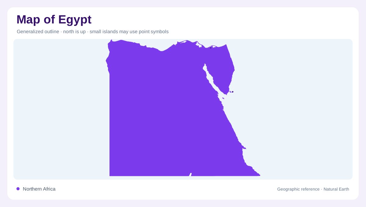
Egypt occupies northeastern Africa, with a Mediterranean coast to the north and the Red Sea to the east. Most of its territory is desert, yet a narrow river corridor provides the country's most recognizable geographic axis. The Nile Valley and Delta interrupt an otherwise desert plateau landscape. This distinction matters more than the almost rectangular impression of the national outline. A small area on a country map can contain a disproportionately important concentration of cultivated land. Viewing the Nile against the surrounding desert explains why an overview centered on land area alone gives a misleading sense of Egypt's internal geography.
The valley and its cultivated margins
Along the Nile, cultivated ground follows the river, its branches and irrigation canals. These connected strips contrast with the elevated desert surfaces on either side. The valley should therefore be read as a corridor with several components: the channel, adjoining agricultural land and the plateau edges beyond. Their widths vary, so the green ribbon familiar from satellite imagery is not a uniform band. Water distribution also extends through constructed channels, making the visible agricultural pattern more intricate than the main river line. At closer scales, distinguishing the natural channel from canals explains how cultivation reaches beyond the immediate riverbank locally.
Where the corridor opens into a delta
Toward the Mediterranean, the Nile's concentrated valley opens into the broader Delta. River branches and canals spread water across a different landform from the upstream corridor. On a map, this expansion changes the relationship between river and farmland: cultivation is no longer represented mainly by a narrow strip enclosed by desert margins. The Delta also faces a marine coast, adding another edge to the freshwater landscape. A diagram that renders the entire Nile as one unchanging line misses this transition. Separating valley and delta helps explain two contrasting spatial forms within the same river system and its cultivated Egyptian surroundings.
Plateaux and a depression below sea level
Desert plateaux rise east and west of the Nile Valley. Their presence makes clear that desert does not necessarily mean low, level ground. In the northwest, the Qattara Depression descends below sea level, introducing a contrasting enclosed lowland. Its position should not be confused with a marine inlet merely because its elevation is negative. A relief map can distinguish this depression from the higher surrounding country and from the actual Mediterranean shoreline. The juxtaposition of plateau surfaces, incised valley and enclosed depression gives western and central Egypt a more varied topographic structure than a desert color would suggest alone.
Sinai and the eastern sea margin
Sinai adds a mountainous component to Egypt's northeastern geography. Mount Catherine is the country's highest point, standing well above the elevations of the desert plateaux beside the Nile. This terrain belongs in any account that otherwise risks reducing Egypt to the river valley and western desert. The Red Sea margin and the Mediterranean margin also face different directions and frame different parts of the national outline. Putting Sinai's relief alongside the Nile and Qattara Depression reveals the range of vertical contrasts within Egypt. Its geography combines a river corridor, extensive deserts, coastal edges and high mountain terrain within one territorial frame.