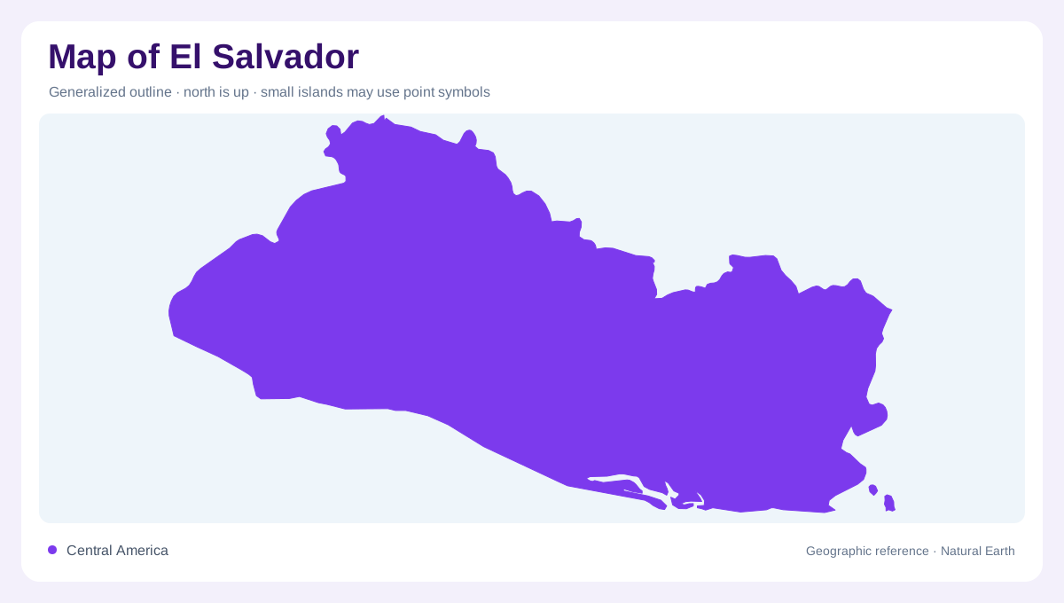
A country facing the Pacific
El Salvador lies on the Pacific side of Central America, adjoining Guatemala and Honduras. Its eastern coast reaches the Gulf of Fonseca, which opens toward the Pacific and also borders neighboring countries. Unlike the Central American countries with shores on both sides of the isthmus, El Salvador has no Caribbean coastline. This is more than a cartographic curiosity: the country's drainage also belongs to the Pacific side. At regional scale, the relationship between the gulf, open ocean and inland boundaries establishes its position. Within the outline, coastal lowlands and elevated interior terrain introduce a more complicated pattern than size alone suggests.
The coastal plain and the central plateau
A coastal plain follows the Pacific margin, while the central plateau contains hills, valleys and elevated surfaces. The transition between them gives El Salvador pronounced local relief within a compact territory. FAO identifies the central uplands as an settlement zone, so its human geography cannot be understood as solely coastal. Lowland and upland labels describe broad regions rather than perfectly level surfaces. Reading contours across the coastal plain and inland slopes helps identify the changes in terrain. The plateau's valleys also create localized lower ground within the interior, preventing a simple division between a flat coast and uniform highlands.
The Lempa reaches beyond the border
The Lempa basin connects El Salvador with upstream areas in Guatemala and Honduras. Rain falling outside the national boundary can therefore contribute to the river system inside it. This shared geography explains why a national water map needs a regional inset. The river's tributaries and reservoirs form a connected system, but each water body retains its own setting and function. Seasonal rainfall produces a contrast in runoff between wetter and drier parts of the year. A permanent river symbol does not communicate the amount of water present at a particular time, or the extent of adjoining floodplain inundation locally.
Lakes are not all reservoirs
Ilopango, Coatepeque, Guija and Olomega are named lakes in El Salvador's inland water geography. They should be distinguished from reservoirs such as Cerron Grande, where stored water occupies part of a managed river system. Although both may appear as blue patches, their origins and relationships to surrounding drainage differ. Lake shapes also interrupt any assumption that the country's water pattern consists only of streams descending directly toward the Pacific. At a detailed scale, the enclosing slopes, inflowing channels and outlets provide the context that a lake label alone cannot. These inland waters add geographic variety between the central uplands and coast.
The gulf and the eastern river edge
The Goascoran rises in Honduras before forming part of the boundary with El Salvador. Its course demonstrates another way water and borders interact, different from the Lempa's upstream connections. Toward the Gulf of Fonseca, river mouths meet a coastal environment shared across national jurisdictions. Marine and coastal wetlands belong to this broader water landscape, alongside inland wetlands in mountainous and volcanic settings. An eastern overview benefits from keeping the gulf visible beyond El Salvador's shore rather than cropping it at the boundary. That framing places the country within a Pacific embayment whose geography extends across more than one national coastline.