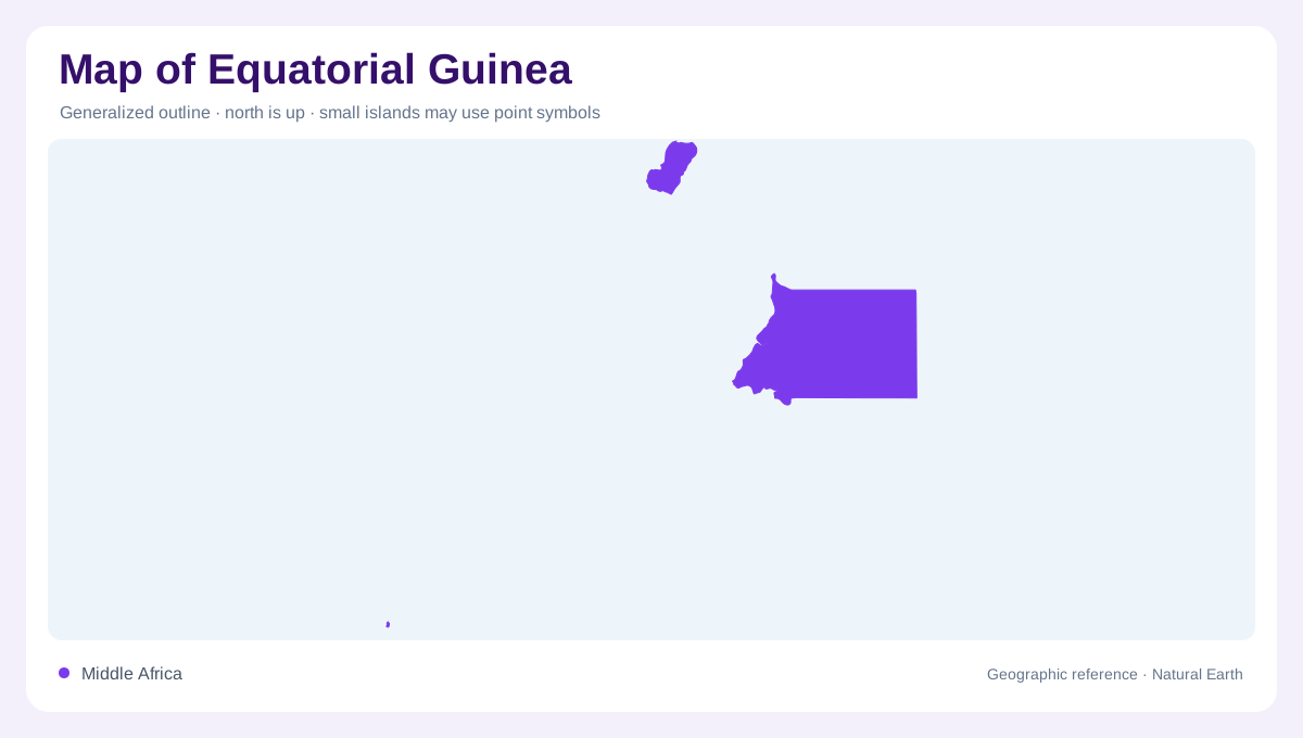
A mainland region and separated islands
Equatorial Guinea includes continental Rio Muni and islands in the Gulf of Guinea region. A map restricted to either the mainland or Bioko would therefore omit a part of the country. Rio Muni adjoins Cameroon and Gabon, while Bioko and Annobon occupy separate marine locations. Smaller islands near the continental coast add another layer of detail. This arrangement calls for more than one scale: a regional locator establishes the detached components, and individual frames clarify their local geography. The country's name should not be taken to mean that its entire territory forms one continuous stretch across equatorial mainland Africa.
Rio Muni's continental setting
Rio Muni provides the principal mainland area. Forest is a defining land cover, and the coast faces the Gulf of Guinea. Its physical connection with neighboring Cameroon and Gabon contrasts with the maritime separation of the larger islands. Corisco, Elobey Grande and Elobey Chico lie alongside this continental geography and need to remain distinct from Bioko and Annobon. Their proximity to the mainland gives them a different spatial relationship within the national group. A map with island insets should consequently identify which islands adjoin Rio Muni and which stand farther away, rather than displaying all offshore land as one compact archipelago.
Bioko rises above the sea
Bioko has steep, varied terrain, culminating at Pico Basile. Malabo is located on this island, a settlement reference independent of any changing administrative role. The mountain introduces considerable elevation variation into a limited land area. Coastal conditions and high slopes therefore differ within the same island outline. Bioko's relief also affects rainfall, producing contrasts between different aspects of the island. A map of its settlements alone would miss this vertical structure. Shaded terrain and contours make clear that the island is mountainous rather than a low coral platform, and that distance inland can involve a change of elevation.
Annobon is a separate geographic component
Annobon is much smaller and lies apart from Bioko and the continental coast. Its own elevated terrain means it should not be represented merely as an indistinguishable point in a collective island label. The separation between national components is part of the country's geography, not empty space to be removed without explanation. Enlarging Annobon in an inset can make its outline visible, provided the inset's regional position remains clear. Its small land area and offshore setting differ from both Rio Muni's continental forests and Bioko's larger mountainous landscape. These contrasts explain why one generalized island description cannot represent the country.
Rainfall and relief vary between components
High humidity and substantial rainfall characterize much of Equatorial Guinea, but island relief creates local variation. Bioko's mountain slopes and differing exposure produce conditions that cannot be inferred from coastal weather alone. The mainland has its own tropical forest setting, while Annobon's smaller surface and isolated position add another environmental context. Comparing the components prevents a national average from becoming a misleading description of every place. Forest, cultivated land, high slopes and coastal margins occupy different proportions in each. A complete geographic view therefore keeps Rio Muni, adjacent small islands, Bioko and Annobon identifiable throughout, even when discussing their shared regional environment.