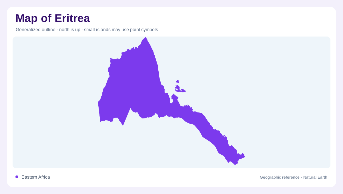
A long Red Sea edge
Eritrea lies in the Horn of Africa beside the Red Sea, with Sudan, Ethiopia and Djibouti as land neighbors. Its coastal setting contrasts with a high interior, so the national outline contains a strong vertical dimension. Dry lowlands near the sea differ from the more temperate highland environments inland. The coastline provides regional orientation, but the escarpment and plateau explain much of the country's internal structure. Reading Eritrea as a coastal strip alone would overlook the elevated country behind it. Likewise, a highland centered map would miss the extensive dry margins connecting the mountains with the neighboring sea and plains.
Highland plateau and eastern slopes
The central highlands include elevated terrain around Asmara. Their eastern slopes descend toward the Red Sea lowlands, creating a transition in both relief and climate. FAO distinguishes moist and arid highland environments as well as a small subhumid escarpment zone. These categories show that elevation does not produce identical conditions everywhere. Exposure, rainfall and local landforms also matter. Groundwater occurs in different rock settings around the plateau, including fractured volcanic formations and alluvial deposits. A detailed map can connect those geological differences with valleys and slopes, rather than treating the highlands as one uninterrupted block of similar terrain throughout Eritrea.
Western lowlands and Nile connections
Western Eritrea contains lowland environments linked to drainage toward the wider Nile region. The Setit, associated with the Tekeze system, is a perennial river and forms part of the boundary with Ethiopia. Other western waterways have strongly seasonal behavior. This difference matters more than the shared river symbol on a small map. A channel may define a valley even when surface flow is absent for much of the year. Following the Setit beyond the national border places western Eritrea within a continental watershed, contrasting with the shorter drainage systems approaching the Red Sea from the eastern side of the highlands.
Barka, Anseba and the closed southeast
The Barka and Anseba systems belong to the country's drainage toward the Red Sea region. Along the southeastern border, a narrower area drains instead into the closed Danakil basin. These directions create three broad hydrological contexts: western continental connections, coastal drainage and an enclosed interior destination. They do not coincide neatly with administrative divisions. A river basin view is therefore useful for understanding why neighboring slopes can send water toward different ends. The southeastern depression especially needs its own category, since an inland drainage system is not simply a coastal river whose lower course has been omitted from the map.
Water appears unevenly across the landscape
Much of Eritrea's river network is seasonal, and natural permanent freshwater surface bodies are limited. Reservoirs in highland areas represent a different form of stored water from a naturally occurring lake. Groundwater also occurs in valley sediments, fractured rocks and coastal formations, with availability depending on local geology. These features help explain why dry land can still contain important water resources without a dense perennial river network. The country's map is best read through that uneven distribution: highlands, escarpments, western plains and coastal lowlands each combine relief and water differently, within the broader geographic frame established by the Red Sea.