An inland country with eastward connections
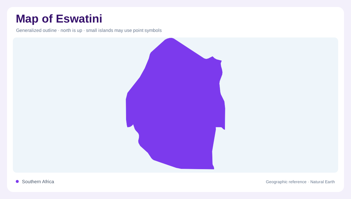
Eswatini lies in southeastern Africa, bordered by Mozambique to the east and South Africa around its other sides. Although landlocked, it participates in river systems continuing toward Mozambique and the Indian Ocean region. The country's compact outline encloses a pronounced sequence of elevations. Highveld, Middleveld, Lowveld and the Lubombo plateau provide a physical framework that differs from its administrative regions. Older geographic reports use the name Swaziland, so matching names across sources is important. The landforms themselves remain recognizable: western uplands, intervening slopes, lower eastern country and a separate eastern plateau define the broad structure within this small national territory.
Highveld and Middleveld landscapes
The Highveld occupies the higher western part of the country, with hilly and mountainous terrain. The Middleveld forms a transition toward lower elevations, rather than an abrupt cliff separating high and low country. Rainfall and temperature vary along this descent. Cooler, wetter highland conditions differ from the warmer and drier Lowveld, influencing vegetation and agricultural landscapes. Mbabane and Manzini provide useful settlement references within the national framework, while their surrounding terrain deserves attention beyond the urban labels. Reading the western country through slopes and valleys makes the transition more intelligible than coloring entire administrative districts according to a single average elevation.
Lowveld and the Lubombo plateau
The Lowveld introduces more gently sloping plains and comparatively dry conditions. Beyond it, the Lubombo plateau adds another elevated feature along the eastern side. This means the country's relief does not simply decline without interruption all the way to its eastern boundary. The plateau creates an additional geographic zone with its own landform and rainfall setting. Its smaller area should not lead to its omission from an overview. Comparing Highveld, Middleveld, Lowveld and Lubombo shows a sequence of different environments across a short horizontal span. That east to west structure helps explain much of the country's internal geographic variety.
Komati, Lomati and Mbuluzi
In the north, the Komati and Lomati originate in South Africa, pass through Eswatini and return to South Africa before continuing toward Mozambique. Their courses demonstrate why the national water network cannot be enclosed neatly by political borders. The Mbuluzi follows a different pattern, rising within Eswatini and flowing into Mozambique. These basins connect separate parts of the country with neighboring drainage regions. Their differences are obscured if every river is described merely as eastward flowing. Following the named channels across the frontier reveals the actual sequence of connections and the distinction between imported headwaters and rivers beginning inside Eswatini.
Southern drainage and stored water
The Usuthu system receives headwaters from South Africa and continues toward Mozambique, while the southern Ngwavuma rises in Eswatini before crossing into South Africa. Reservoirs add further features to the river geography: Maguga belongs to the Komati system, and Mnjoli to the Mbuluzi. They should be distinguished from the natural channels and surrounding catchments. Seasonal rainfall is concentrated in the warmer part of the year, so water availability varies across time as well as elevation. Together, upland rainfall, river crossings and lower eastern terrain explain how this landlocked country's physical geography is connected with a much wider southeastern African region.