High country surrounded by lower environments
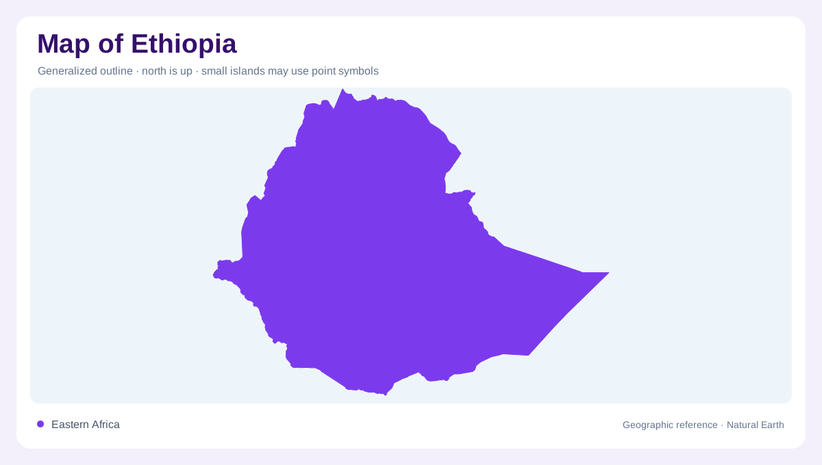
Ethiopia occupies an inland position in the Horn of Africa, with mountains and plateaux rising above surrounding lowlands. Its topography ranges from depressions below sea level to high northern mountain country. Deep gorges cut the plateaux, so a broad elevated surface does not imply easy continuity across the interior. The Simien Mountains and the Danakil Depression represent contrasting ends of this relief. Their coexistence within one country makes elevation central to any geographic interpretation. Latitude alone cannot explain Ethiopia's environments, because cool highland settings and hot lowland basins occur within the same general tropical region of northeastern Africa today.
The Rift divides and collects
The East African Rift crosses Ethiopia and introduces a series of interior basins. The Awash, Omo Gibe and central lake systems belong within this broader rift geography, but they do not form one continuous river flowing along the entire depression. Separate catchments collect water in different directions and destinations. Some lakes are fresh and others saline, reflecting distinct hydrological settings rather than one uniform chain. A map should therefore preserve basin boundaries as well as the rift's overall alignment. This distinction explains how a visually connected lowland corridor can contain several independent water systems separated by less conspicuous local divides.
Headwaters feeding the Nile
The Abbay, or Blue Nile, is a major component of Ethiopia's westward drainage. Baro Akobo and Tekeze Atbara systems provide additional connections to the Nile basin. Together they link northern and central highland landscapes with downstream countries beyond Ethiopia's borders. The deep valleys associated with these systems are important physical features in their own right. Following the tributaries reveals how rainfall over elevated country contributes to a continental river network. A national outline alone hides that downstream significance. Ethiopia's western drainage should consequently be read with the wider Nile basin visible, rather than ending the geographic story at the frontier.
Southeastern rivers toward Somalia
The Wabi Shebelle and Genale Dawa systems drain southeastern mountain country toward Somalia. Their orientation differs from both the Nile tributaries and the enclosed rift basins. This adds another continental direction to Ethiopia's water geography, with headwaters in elevated terrain and downstream courses entering drier regions. Seasonal variation is important, and a river's mapped course does not establish a constant quantity of flow along its entire length. The distinction between catchment area, channel and actual runoff matters especially where evaporation and dry conditions affect downstream water. Showing these southeastern systems prevents the Nile from dominating every account of Ethiopian drainage.
Elevation shapes climate and water timing
Temperature varies strongly with elevation, from cool plateau environments to hot lowlands. Rainfall also varies across the country, and much runoff arrives during a concentrated seasonal period. Springs can sustain some dry season flow, while intense rainfall may produce flooding in low river country. The Awash, lower Baro Akobo and Wabi Shebelle basins illustrate places where river behavior matters beyond the immediate channel. These patterns connect Ethiopia's climate with its physical divisions. High mountains, deeply dissected plateaux, rift depressions and outward flowing rivers belong to one geographic system, yet each requires its own scale and seasonal context to be understood accurately.