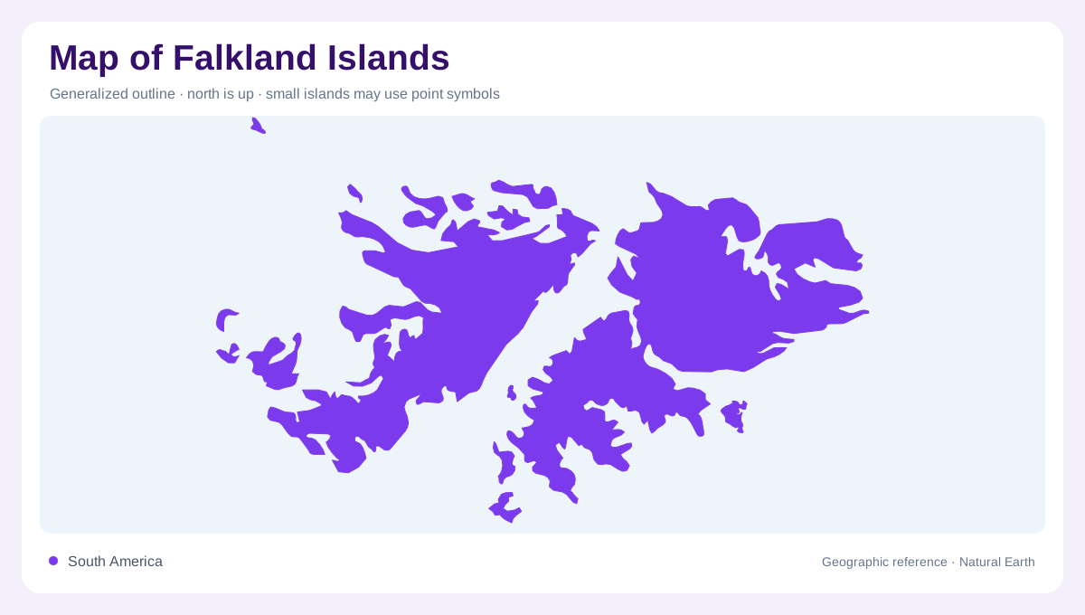
Two large islands and many smaller neighbors
The Falkland Islands lie in the South Atlantic, southeast of the southern end of South America. East Falkland and West Falkland dominate the archipelago, accompanied by many smaller islands. The islands are administered by the United Kingdom and claimed by Argentina; describing their physical geography does not resolve that disagreement. Their coastal outline is deeply varied, with bays, headlands and intervening stretches of open water. A regional map should therefore distinguish the principal islands from their surrounding island groups. The archipelago is neither a single continuous landmass nor an interchangeable collection of small rocks scattered across an otherwise featureless ocean.
East Falkland rises above its coastal plains
Stanley stands on East Falkland, providing an urban reference within an island that also includes hills and extensive open country. Mount Usborne is the archipelago's highest summit and belongs to East Falkland's higher terrain. Away from town, plains and uplands create changing profiles that a simple settlement map can miss. Stone runs are another distinctive feature of the islands: broad accumulations of rock interrupt the vegetation and give parts of the landscape an unusual texture. These features belong alongside coastal scenery in an overview, showing that the Falklands' geographic character reaches well beyond beaches and the margins of sheltered harbours.
Lafonia occupies the southern low country
Lafonia forms the southern part of East Falkland, connected to the north through an isthmus. Its generally low, open landscape contrasts with the higher country elsewhere on the island. Darwin and Goose Green provide references near the connecting neck, while North Arm lies farther south. The isthmus is geographically important because it links two broad land areas across a much narrower strip. On a reduced map, that connection can seem insignificant; in the island's actual shape, it is fundamental. Lafonia's plains and grass dominated scenery add another distinct environment to East Falkland rather than simply continuing its northern hills unchanged.
Outer islands introduce sharper coastal forms
The Jason Islands form a rocky group in the far northwest of the archipelago. Other outer islands have their own recognizable forms: Saunders includes the Neck, an isthmus with beaches on opposite sides, while West Point has imposing sandstone cliffs. New Island combines sea cliffs with sheltered bays, and Carcass includes hills and rocky ridges. These contrasts show why an outer island label is not enough to describe the terrain. The same broad category contains narrow connections, elevated coastlines and lower beaches. West Falkland and its surrounding islands consequently deserve their own close geographic attention alongside the better known eastern island.
Sea edges range from sand to kelp
Across the Falklands, sandy beaches alternate with rocky headlands and steep coastal sections. Sheltered harbours differ from shores exposed to the South Atlantic, while underwater kelp forests extend the coastal environment beneath the surface. The land edge on a map is therefore only one boundary within a much wider system. Westerly winds are another persistent influence on the islands' oceanic setting. Together, exposure, relief and the configuration of bays produce local variety. Reading these features across East Falkland, West Falkland and the outer groups gives a more complete account than treating the entire archipelago as uniformly bleak or flat.