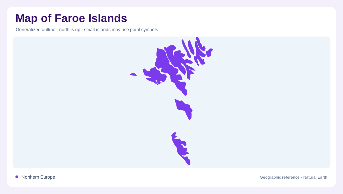
Eighteen islands in the North Atlantic
The Faroe Islands lie between Scotland and Iceland in the northeastern Atlantic. Eighteen mountainous islands form the archipelago, so its geography involves both individual landforms and the water separating them. Scotland's Northern and Western Isles provide the nearest neighboring island reference. The Faroes belong within the Kingdom of Denmark but have their own geographic identity, far from Denmark's mainland setting. A locator showing the wider Atlantic makes that separation apparent. Closer inspection then reveals a compact yet divided landscape of islands, fjords and cliffs, where national scale and local terrain differ sharply from the lowland environments commonly associated with Denmark.
Basalt foundations shaped by ice
Volcanic activity formed the islands' original plateau, transformed by glaciation and erosion. Basalt layers remain central to the landscape, but ice cut valleys and divided the earlier surface into the island forms visible today. This history explains the combination of stepped rock structure and deeply incised terrain. The mountains are not simply isolated cones marking recent volcanoes. They are remnants of a broader geological formation reshaped over time. A relief map can reveal that shared structure across sea channels, helping connect islands that appear detached. Their separation is real, yet their rock foundations belong to a related regional history.
High cliffs above a small land area
Slaettaratindur is the highest mountain in the Faroes, while Enniberg is a prominent cliff rising directly above the sea. These features express two different forms of height: an inland summit and a steep coastal face. Much shoreline consists of cliffs, with seabird nesting habitat on exposed rock. Narrow fjords and deep valleys introduce lower corridors between high areas. A simple island outline cannot communicate those vertical contrasts. The small total land area therefore should not suggest gentle terrain. The Faroes contain substantial relief compressed into narrow landforms, with abrupt changes between elevated ground, valley floors and the adjoining ocean surface.
Settlements face the water
Faroese settlements are strongly associated with the shore. Vatnsoyrar is a notable inland exception, located beside the islands' largest lake rather than directly at the sea. Torshavn provides the capital reference within the archipelago. This settlement pattern reflects a landscape where the ocean is close even to inland ground, and steep terrain limits broad lowland interiors. Coastal position does not mean every village occupies an identical bay or exposure. Fjords, open shores and nearby slopes create different local settings. Keeping those relationships visible gives more geographic meaning to settlement symbols than arranging them as spaced points around an island perimeter.
Maritime conditions across varied slopes
The Faroes' weather reflects their North Atlantic position, changing air flows and interactions between warmer and colder ocean waters. Elevation and exposure add local variation to that maritime setting. Grass covered landscapes may appear uniform, but closer examination reveals differences among wet ground, rocky slopes and coastal habitats. The islands' remoteness also helps explain the contrast between limited terrestrial fauna and abundant marine and bird life. Geography here extends beyond dry land: surrounding waters support ecological relationships that link cliffs, seabirds and offshore feeding areas. That wider frame completes the picture of an archipelago shaped jointly by rock, ice and ocean.