A long northern country
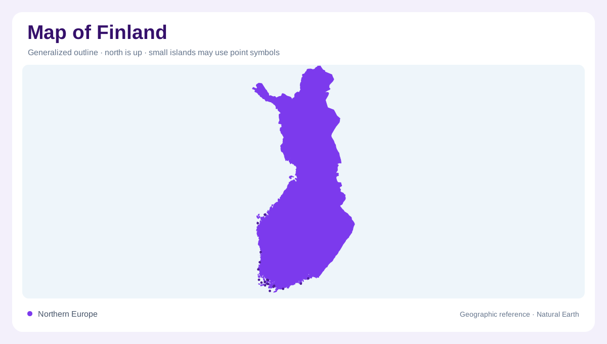
Finland stretches far enough from south to north for latitude to become a part of its geographic story. Helsinki provides a southern urban reference, but it cannot represent the whole country's landscapes or seasonal experience. Farther north, the balance between daylight and darkness changes through the year. Across this length, forests, lakes, cultivated ground and northern fells form different regional combinations. Finland is consequently more varied than a simple forest symbol suggests. Its national outline connects maritime southern settings with inland waters and northern uplands, making both latitude and the changing relationship between land and water useful guides.
Southwestern fields give way to islands
Southwestern Finland brings farmland into close association with an extensive archipelago. Here, the transition from mainland to open sea happens through many separate islands and intervening waters rather than at one continuous outer coast. A map at national scale can compress this complexity into an indistinct coastal fringe. Enlarging the area reveals the alternating pattern of solid ground and channels that defines its geography. Inland agricultural scenery and offshore island landscapes should therefore be read as neighboring but different environments. The southwest demonstrates how an apparently simple coastal position can contain numerous locally distinct shorelines, exposures and relationships with water.
Lakes, rapids and the inland landscape
Finland's inland waters are fundamental geographic features, not occasional interruptions in a continuous land surface. Lakes and connecting waterways create a landscape in which shorelines recur far from the sea. Rapids add another element: watercourses can link lake settings while crossing changes in elevation. The historical region of Häme belongs within this broader inland picture, where cultural landscapes and natural features appear together. A lake label alone cannot explain the shape of the surrounding country. Looking at the neighboring shores, wooded ground and connecting channels shows why Finnish inland geography is better understood as an interlocking arrangement of water and land.
Eastern hills and western plains
Eastern Finland's hills offer a different profile from the windswept plains of Ostrobothnia in the west. Koli, in North Karelia, supplies a named eastern reference for elevated scenery. These contrasts matter even without the extreme heights associated with major alpine ranges. Hills can frame views and divide local drainage, while broad plains emphasize distance and exposure. Neither region should be reduced to a single vegetation color. Relief distinguishes them before settlement patterns or individual attractions are considered. Comparing the east and west adds an important crosswise dimension to a country otherwise often described chiefly through its long southern to northern extent.
Lapland and the rounded northern fells
Lapland introduces rounded fells and extensive northern landscapes into Finland's geographic range. These uplands differ visibly from the archipelago of the southwest and the lake environments farther south. Their rounded profiles are useful to recognize: a fell landscape need not resemble a wall of sharp alpine summits. Seasonal daylight is also conspicuous at northern latitudes, giving the annual cycle a different character from Helsinki's southern setting. Finland's regional contrasts become clearest when these northern forms remain connected to the wider national picture. Islands, waters, forests, fields, plains and fells together describe the country more accurately than any single celebrated landscape.