The peninsula and its two coastal directions
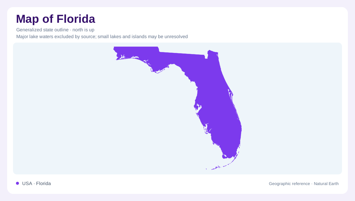
Florida's familiar peninsula extends south from a northern mainland that also reaches west in a panhandle. This creates several coastal settings rather than one uninterrupted beach landscape. Atlantic barrier islands, northern gulf shores, southern wetlands, and offshore keys have different forms and origins. The distinction becomes especially important near the southern end, where mainland, shallow bays, and island chains interlock. Florida's low relief can disguise these differences in a simple outline. Small differences in height and underlying limestone often matter more than dramatic peaks, particularly where water moves slowly across broad surfaces or where tidal habitats meet the edge of the mainland.
Lake Okeechobee and the Everglades basin
Lake Okeechobee anchors the historic southward flow of the Greater Everglades. Before extensive drainage works, seasonal overflow moved from its southern shore toward Florida Bay across an exceptionally gentle gradient. That broad movement differed from a river confined between continuous banks. Canals, levees, dams, and raised roadbeds subsequently altered the distribution of water, so the historic pattern should not be mistaken for an untouched present system. Everglades National Park protects part of the larger ecosystem. Distinguishing the park boundary from the full water basin is essential: the processes sustaining southern wetlands extend beyond the protected area's administrative perimeter.
Limestone and small changes in height
Limestone underlies much of southern Florida, connecting its surface geography with groundwater and dissolution. Water moving through organic material can become acidic enough to enlarge openings in carbonate rock. In the Everglades, solution holes provide small depressions within this low landscape. The Atlantic Coastal Ridge stands relatively higher than adjacent wetland country and supports different plant communities. Big Cypress lies west of the Everglades basin, with drainage generally toward the south and southwest. These regional relationships explain why apparently flat country contains a mosaic of pine areas, cypress wetlands, sawgrass prairies, and coastal mangroves instead of one uniform marsh.
Barrier islands and sheltered coastal waters
Along the Atlantic side, sandy barriers separate open coastal waters from quieter environments behind them. Canaveral National Seashore includes a barrier island and Mosquito Lagoon, illustrating that paired geography. Farther south, Biscayne combines marine waters, islands, and coral reefs near Miami. These settings are geographically distinct from the freshwater interior even where they lie close together. Around the southwest, freshwater from Big Cypress helps sustain coastal estuaries. A useful interpretation therefore follows the transition from inland drainage to sheltered coastal water and then to the open sea, recognizing that these adjoining environments exchange water while retaining their own physical character.
The Keys continue beyond the mainland
The Florida Keys curve away from the peninsula through a separate island landscape. The upper keys include exposed remnants of ancient coral reefs, while other portions contain oolitic limestone and accumulated carbonate sand and mud. They should not all be imagined as sandy barriers identical to those farther north. Florida Bay lies among shallow banks, small islands, and interconnected basins beside the chain. The Dry Tortugas extend the offshore geography still farther west, beyond Key West. Including this distant group changes the mental picture of Florida's southern extent: the mainland tip is only one part of a much wider marine region.