European France is only one geographic frame
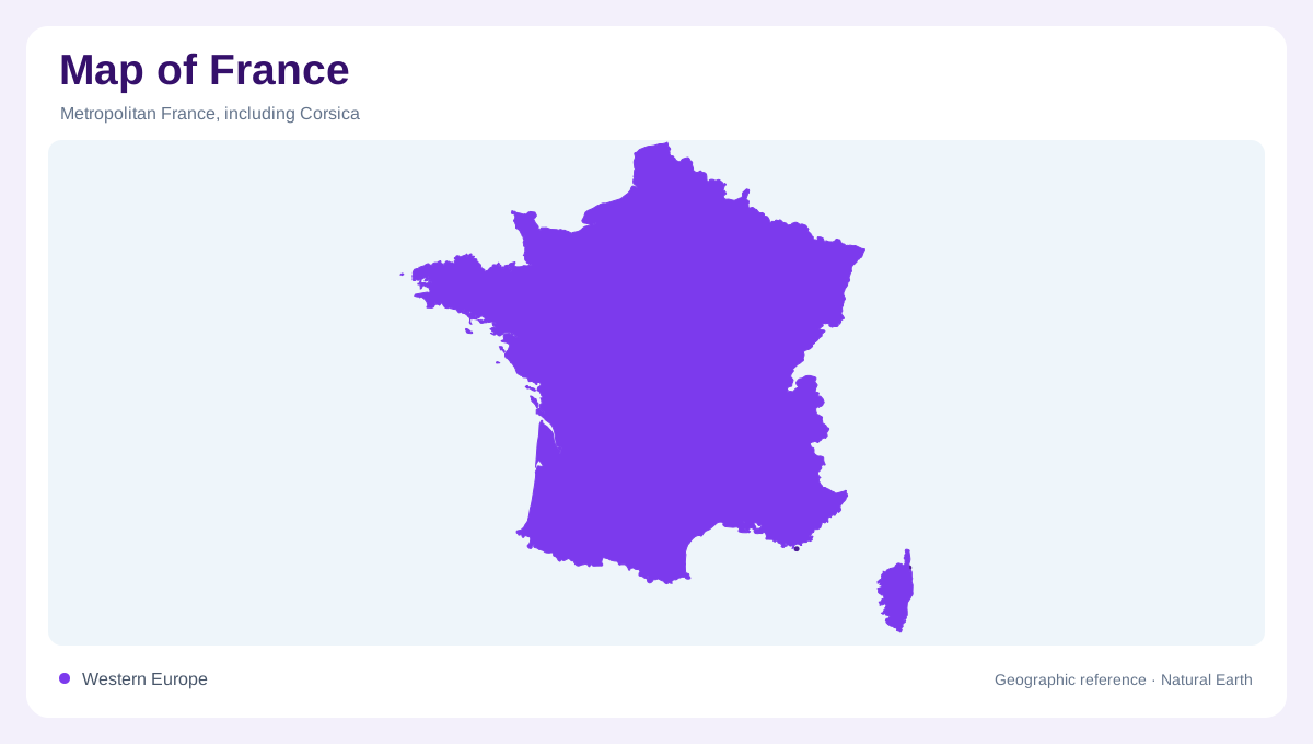
France's familiar European outline covers a meeting place of Atlantic, continental, alpine and Mediterranean environments. These influences help explain the variety within metropolitan France, but they do not encompass the country's entire geography. Corsica adds a Mediterranean island, while overseas territories extend the frame into other oceans and latitudes. A map must therefore make its scope explicit. The European mainland, metropolitan France including Corsica, and France with its overseas components are related but different geographic views. Keeping that distinction clear prevents tropical reefs, northern ocean islands and continental European landscapes from being compressed into one misleading national environmental stereotype.
Mountains create a different scale of relief
The Alps introduce major mountain landscapes, with Mont Blanc providing a prominent reference. Peaks, valleys and mountain lakes give this region a vertical structure unlike lowland river country. The Pyrenees provide another distinct mountain setting farther southwest, rather than an extension of the same alpine massif. France's mountainous regions should consequently be identified individually, not collected under one generic upland label. Elevation changes influence the environments found along a slope, while valleys divide high ground into geographic units. Even a broad physical overview benefits from showing these internal forms rather than representing each mountain region with isolated summit symbols.
River valleys join natural and cultivated ground
The Loire Valley illustrates how a river landscape can also be a longstanding cultural landscape. Settlements, cultivated ground, gardens and historic buildings occupy terrain organized around the valley, though not every landmark stands directly on the main channel. The river supplies a spatial framework that remains meaningful beyond individual attractions. Valley land should also be distinguished from adjoining higher ground, because the relationship between water and relief underlies the wider scene. France's physical geography is not separate from its inhabited countryside: river corridors often provide the setting in which natural processes and centuries of human land use are read together.
Corsica belongs beyond the mainland outline
Corsica lies in the western Mediterranean, north of Sardinia across the Strait of Bonifacio. Its mountainous interior and varied coastline give it a physical identity distinct from mainland France. Sandy beaches, rocky headlands and cliffs occur around the island, with the gulfs of Porto and Ajaccio providing named coastal references. Bonifacio's limestone cliffs offer a different setting from broad sandy shorelines. Corsica therefore requires more than a small offshore label on a mainland centered map. Its relief and coastal forms deserve their own scale, while the surrounding sea explains both its separation from continental Europe and its proximity to neighboring islands.
Overseas environments extend across oceans
French overseas geography includes Caribbean settings, the Guiana Shield, Indian Ocean islands, South Pacific archipelagos and southern ocean environments. These are not one continuous region, nor do they all share the same administrative status. Their ecosystems include mangroves and coral reefs as well as forests and colder maritime habitats. French Guiana, for example, belongs to continental South America rather than an offshore tropical island group. French Polynesia has a dispersed Pacific geography of its own. An overview should acknowledge this wider reach while leaving room for each territory's specific account, rather than transferring the European mainland's climate or landforms across oceans.