A continental territory with an Atlantic edge
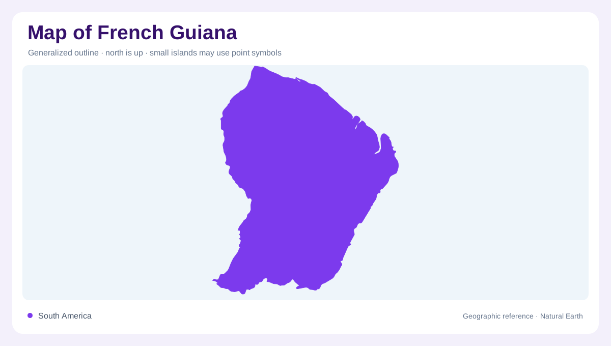
French Guiana occupies part of northeastern South America, not an island in the Caribbean. Its geography connects an Atlantic coastal margin with extensive forested country on the Guiana Shield. The Maroni marks the western end of the coastal reach, while the Oyapock lies at the eastern end. These rivers provide useful orientation before individual settlements are considered. Inland, the terrain cannot be reduced to a flat green expanse: wooded hills and exposed rock formations create local variation. A geographic overview needs both this continental interior and the changing sea edge, rather than treating French Guiana as exclusively a coastal strip.
Mudbanks reshape the shore
The coastline is strongly influenced by migrating mudbanks associated with Amazonian sediment. Erosion removes material in some places while accumulation builds ground elsewhere, producing an mobile shore. A map's coastline is therefore a dated representation of a changing boundary, not a permanent line. Beaches and adjacent margins around Cayenne, Macouria, Kourou and Awala-Yalimapo provide named places within this broader coastal system. The changes are not confined to one river mouth. Sediment movement connects local shoreline behavior with processes extending beyond French Guiana, making its Atlantic edge part of a wider regional geography of water, mud and shifting coastal forms.
Forested hills rise on the Guiana Shield
The interior's forest cover overlies varied relief within the Guiana Shield region. In the Parc amazonien de Guyane, forested hills reach substantial elevations, while inselbergs form conspicuous rocky masses within the surrounding landscape. These exposed formations differ from the wooded slopes around them and should not disappear under a single forest color. Their presence shows why vegetation and terrain require separate attention. Dense tree cover can make a map look uniform even where the underlying ground is uneven. French Guiana's inland geography is consequently more intelligible when relief, exposed rock and forest distribution are considered together at a closer regional scale.
A protected landscape crosses ecological borders
The Parc amazonien de Guyane adjoins Brazil's Montanhas do Tumucumaque national park in Amapá. That relationship places the southern forest within a larger connected environmental setting. The international boundary divides jurisdictions, but it does not create an abrupt natural break in the wider forest landscape. Within French Guiana, the park has a protected core and an adjoining zone associated with local communities. These different areas should not be mistaken for a single uninhabited block. The landscape supports both conservation and lived relationships with the forest, and its map needs to distinguish ecological continuity from the administrative lines drawn across it.
Interior communities complete the geographic picture
Camopi, Maripa-Soula, Papaïchton and Saül are named communities associated with the park's territory. Their presence challenges the assumption that inhabited French Guiana stops at the coastal settlements. The national park describes local ways of life as integral to its work, rather than treating people as absent from the forest. This human geography belongs alongside the physical contrast between a mobile Atlantic coast and inland wooded hills. Bringing settlements, rock formations, forest and coastal processes into one account produces a fuller portrait: a continental territory whose river references and varied terrain matter as much as its familiar relationship with distant France.