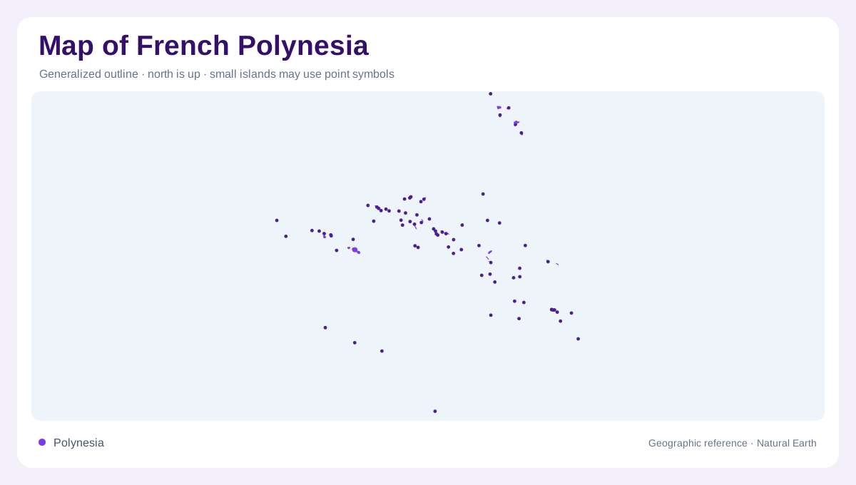
Society Islands anchor a wider Pacific view
French Polynesia comprises five archipelagos spread across the South Pacific, so its geography cannot be represented by Tahiti alone. Tahiti belongs to the Society Islands and is the territory's largest island. The Society group is divided into Windward and Leeward islands, with Moorea, Bora Bora and Huahine among its other recognizable names. Mountainous interiors and valleys give these islands substantial relief behind their coastal margins. Lagoon scenery is only one part of the picture. A broad locator should retain the other four archipelagos, while a closer Society view distinguishes separate islands and their individual relationships between high ground and sea.
Tuamotu lagoons occupy a different landscape
The Tuamotu group is particularly associated with atolls, including Rangiroa, Fakarava and Tikehau. Here, narrow emergent land and reef structures enclose or border extensive lagoon water. Small islets, commonly called motu, form part of that reef landscape. Their arrangement matters more than a single dot marking an atoll's position. The surrounding ocean, lagoon and dry land are distinct components, even where a reduced map makes them difficult to separate. Tuamotu geography therefore contrasts sharply with Tahiti's mountainous interior. It calls for attention to reef outlines, water passages and the discontinuous strips of land that give each lagoon setting its shape.
Marquesas relief faces the open ocean
Northeast of Tahiti, the Marquesas introduce deeply cut valleys, volcanic shores and striking uplands. Nuku Hiva is the group's largest island, with Taiohae occupying a bay setting. On Hiva Oa, Atuona and Taaoa Bay provide coastal references below the high ground around Mount Temetiu. Ua Pou has distinctive basalt pillars, creating another recognizable mountain profile within the archipelago. These islands should not be imagined as replicas of Tuamotu atolls. Their geographic emphasis falls on elevated volcanic landforms and valleys meeting the coast. The contrast between these two archipelagos demonstrates how much physical variety lies within one dispersed Pacific territorial grouping.
Gambier islands share a lagoon setting
The Gambier group lies southeast of Tahiti and contains volcanic islands within a shared lagoon. Mangareva is the principal island, with Rikitea as a settlement reference. Akamaru, Aukena and Taravai are other islands within this setting, accompanied by smaller motu. The configuration differs from both a solitary high island and a simple ring of low coral land. Several elevated landmasses rise within a broader reef and lagoon framework. A detailed map makes those relationships visible, showing how the water between islands belongs to the same local system while open ocean separates the Gambier group from distant parts of French Polynesia.
Austral islands extend the southern range
Southwest of Tahiti, the Austral group adds further contrasts among individual islands. Tubuai and Raivavae have lagoon environments, while Rurutu is known for cliffs and caves. Rimatara supplies another small island reference within the group. Their shared archipelago name does not erase these different forms. Taken together, the Australs, Gambier, Marquesas, Tuamotu and Society Islands create a geography defined by distance as well as landform. High volcanic interiors, exposed coastal rock, low motu and lagoon waters coexist across that wider frame. Keeping all five groups visible avoids reducing French Polynesia to either one famous island or one standard tropical shoreline.