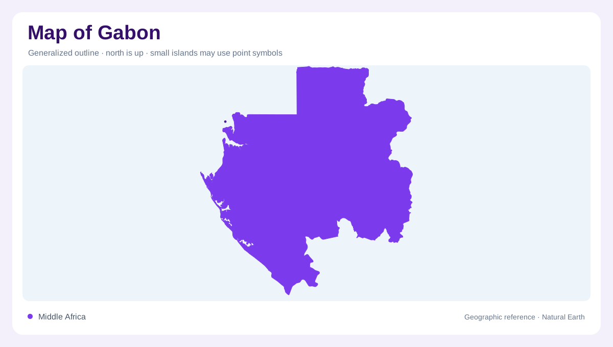
Equatorial land with an Atlantic frontage
Gabon straddles the equator on Central Africa's Atlantic side. Cameroon and Equatorial Guinea lie to the north, while the Republic of the Congo adjoins its eastern and southern margins. Forest covers much of the interior, but the physical landscape includes plateaux, hills, escarpments and coastal lowlands. These forms matter even where tree cover makes relief less obvious in satellite imagery. The ocean frontage provides one national edge, while river basins organize the interior. A map that combines both reveals how inland water reaches the Atlantic through several different systems, rather than one undivided sheet of equatorial forest beside the sea.
The Ogooue and its major tributaries
The Ogooue is the principal river framework within Gabon. Its source lies across the border in the Republic of the Congo, showing that even this central national feature has an international catchment. The Ivindo drains northeastern country into the system, while the Ngounie gathers water from the south. Their different orientations help explain the basin's breadth. Following them toward the Ogooue makes the interior more intelligible than tracing only the main channel. Lambarene provides a useful river reference in FAO's hydrological account. From there, the lower basin opens into a more intricate landscape of lakes, channels and adjacent wet ground.
Lakes beside the lower river
The lower Ogooue region contains a concentration of lakes within an inland delta setting. Ezanga, Oguemoue and Onangue lie on the river's left side, while Azingo and other lakes occupy the opposite side. These waters are associated with a broad floodplain, not merely isolated depressions unrelated to the river. Their distribution enlarges the hydrological landscape beyond the main channel. Marshes extend around lake margins and riverbanks, creating connections that vary with water conditions. A closer map can distinguish those features, while a country overview may merge them into one blue area. The distinction is essential to reading the lower basin.
Nyanga and Komo follow separate courses
The Nyanga is another major Gabonese river, rising in the Chaillu massif area and reaching the Atlantic farther south. Its basin also extends into neighboring Congolese territory. The Komo provides a separate northern coastal system, with headwaters in Equatorial Guinea and much of its catchment within Gabon. These rivers prevent the Ogooue from becoming an explanation for every part of the country. Their distinct basins divide the coastal hinterland into several connected but separate geographic regions. Following each toward its estuary reveals how different upland sources and tributary networks contribute to Gabon's Atlantic water margin across the full national coastline.
Wetlands occur at several elevations
Gabonese wetlands are not confined to the coast. In the northeast, swampy plateau country occurs along waterways including the Ivindo and Ntem. Lower Ogooue floodplains form another wetland environment, while mangroves occupy marine estuaries and lagoons. These settings differ in elevation, water source and connection with the sea. The shared wetland label therefore needs more geographic detail to be useful. Combining forest cover with drainage and relief separates upland marshes, river floodplains and coastal mangrove systems. That layered reading preserves the country's physical diversity and explains why an equatorial location does not produce one identical landscape throughout Gabon's territory today.