A country organized around one river
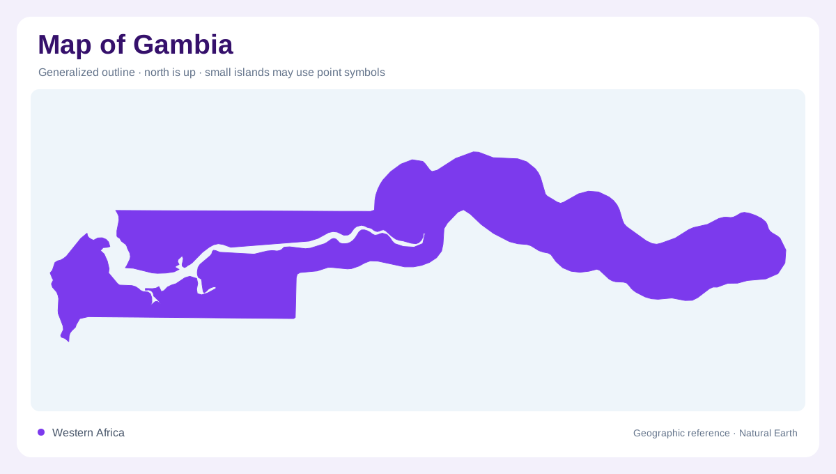
Gambia's elongated outline follows the lower River Gambia toward the Atlantic. The river itself begins beyond the country, in the Fouta Djallon highlands of Guinea, and passes through Senegal before entering Gambian territory. This upstream geography is essential: the national river corridor is only part of a larger catchment. Within Gambia, the river runs broadly westward through low terrain. An overview centered on the channel reveals the country's form more clearly than a map showing administrative boundaries alone. The surrounding uplands and floodplains then explain how a narrow national territory can contain several different environments alongside one major watercourse.
Upland plateaux above the valley
The uplands consist of weathered plateau surfaces interrupted by smaller watercourses. These streams descend toward the River Gambia through narrow valleys known as wulumbangos. The local relief is modest compared with mountainous countries, yet it strongly influences drainage and land use. Higher ground generally drains differently from the fine textured lowland soils. A map that labels the whole country flat would consequently lose useful detail. The tributary valleys connect plateau and floodplain, while their orientation often cuts across the main river corridor. Reading these small systems explains how rainfall from adjoining uplands reaches the country's central waterway through many separate routes.
Floodplains and tidal lowlands
Lowlands include river floodplains in the upper valley and tidal plains farther downstream. Their soils and drainage conditions differ from the uplands, with low relief allowing water to remain near the surface. Depressions behind river levees create additional wetland settings, distinct from areas directly affected by tides. Some inundation comes from rainfall and surface runoff rather than seawater moving upstream. These differences are difficult to see in a single wetland color. A more detailed map separates the main channel, levees, backswamps and tributary valleys, revealing several forms of low ground within the broader river landscape that gives Gambia its shape.
Salt and freshwater shift along the channel
The river's lower reaches experience a strong marine influence. Farther inland, the relationship between tides and salinity changes, and some tidal water remains fresh. Seasonal river flow also affects how far brackish conditions extend upstream. The tidal limit and the saltwater limit are therefore not necessarily the same geographic boundary. This distinction matters when interpreting wetlands and agricultural land along the valley. A map showing only distance from the Atlantic cannot express the full pattern. River discharge, season and low topography together determine how marine influence interacts with freshwater arriving from the wider basin through Senegal from highlands in Guinea.
Mangroves and the seasonal river landscape
Mangroves occur along floodplains in the western part of Gambia, reflecting the coastal and tidal setting. Elsewhere, savanna vegetation with grasses and shrubs characterizes much of the surrounding landscape. A rainy season and a longer dry period alter the balance between local runoff and marine influence. Groundwater adds another component beneath the surface, within the region's sedimentary formations. These overlapping features explain why the river corridor is more than a blue line enclosed by national borders. Upland tributaries, floodplains, freshwater reaches, brackish margins and mangroves together form the country's distinctive geography from its inland boundary to the Atlantic Ocean shore.