Between mountain country and the Black Sea
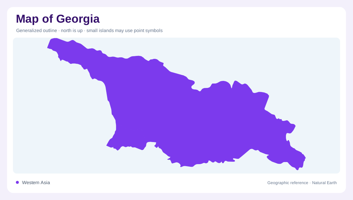
Georgia lies in the Caucasus region, with the Black Sea forming its western marine edge. Mountain and highland terrain occupy much of the country, while valleys provide lower corridors between elevated areas. The northern Caucasus framework gives the national map a strong relief boundary, but the interior also contains substantial topographic variation. Tbilisi identifies the capital in this regional setting. A useful overview should include the Black Sea coast and the eastward river connections together. They reveal a country whose physical geography faces two drainage destinations, despite possessing a shoreline on only one of those larger bodies of water.
Humid western slopes and lowlands
Western Georgia has a humid climate influenced by the Black Sea and adjoining relief. The Inguri, Rioni and Chorokhi are principal rivers in this westward drainage group. The Chorokhi also receives its main upstream course from Turkey, making the coastal river network partly transboundary. High rainfall and lower coastal terrain create wetland environments distinct from the mountain slopes feeding them. A map of western Georgia should consequently separate uplands, river corridors and coastal alluvial plains. Treating the whole western region as one maritime strip would overlook the elevation changes that help organize both its rainfall and its branching water systems.
Kolkheti and coastal wetlands
The Kolkheti lowlands near the mouth of the Rioni contain important wetlands along the Black Sea margin. Poti provides a nearby settlement reference, while the Ispani wetland near Kobuleti represents another coastal alluvial setting. These areas are not mountain lakes, even though high terrain lies within the broader western region. Their lowland sediments and water conditions give them a different geographic character. Wetland boundaries also differ from the outline of the sea itself. A close coastal map can distinguish freshwater or waterlogged land from open marine water, revealing how Georgia's western edge contains several environments within a narrow spatial frame.
Eastern waters head toward the Caspian
Eastern Georgia belongs to the Caspian drainage domain. The Kura system and rivers including the Alazani and Iori continue toward Azerbaijan, while northern waterways such as the Terek connect through Russia. These routes demonstrate that the eastern country has an outward water orientation despite lacking a Caspian coastline. The divide between western and eastern drainage therefore matters as much as the national perimeter. Following the rivers downstream explains their continental connections. It also prevents a common geographic simplification: not all water in a country with a Black Sea shore necessarily reaches that sea, even where mountain distances appear short.
Valleys, rainfall and boundary interpretation
Eastern conditions are generally less humid than those of western Georgia, adding a climatic contrast to the watershed division. Valleys and mountain slopes further vary the local picture, so one national rainfall value cannot describe every district. Reservoirs and irrigated areas introduce human modifications within these physical basins, but their mapped presence does not change the drainage direction. Territorial disputes also require separate interpretation: a boundary line should not be treated as evidence that control and recognition coincide everywhere. The geographic account remains clearest when it distinguishes physical relief, river connections and coastal environments from the political categories used to map them.