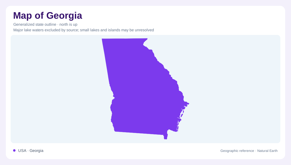
Five provinces within one outline
Georgia's geography changes from Appalachian mountain country in the north to Atlantic coastal lowlands in the southeast. Five physiographic provinces organize that transition: Appalachian Plateau, Valley and Ridge, Blue Ridge, Piedmont, and Coastal Plain. These are physical regions rather than administrative subdivisions, and several continue into neighboring states. Their unequal extent matters when comparing Georgia's physical regions. The Appalachian Plateau occupies only the extreme northwest, while the Coastal Plain covers a broad southern area. Understanding this arrangement prevents the mountains from dominating one's impression of the whole state. Georgia contains both high relief and extensive lower terrain, with a substantial foothill region between them.
Three different northern landscapes
Lookout Mountain identifies Georgia's small Appalachian Plateau corner. Immediately across the broader northwestern region, the Valley and Ridge province consists of elongated ridges and intervening valleys trending northeast to southwest. That alignment connects northern Georgia physically with Tennessee and Alabama. The Blue Ridge farther east contains the state's highest elevations, including Brasstown Bald. These mountain landscapes should not be combined into a single featureless northern belt: a plateau edge, parallel valleys, and high mountain terrain have different structures. Their distinctions help explain why moving across the northern part of Georgia involves repeated changes in orientation and local relief.
Piedmont settlements and water
The Piedmont spreads south of the mountains as a region of foothills and rolling terrain. Metropolitan Atlanta lies within it, linking Georgia's urban geography to this inland landscape rather than directly to the Atlantic shore. Underlying crystalline rocks also influence the region's water supply. The state's geographic overview contrasts the north's reliance on surface water with the productive aquifers beneath the southern Coastal Plain. This is a broad regional distinction, not a claim that groundwater is absent from northern Georgia. It makes river basins an essential companion to settlement geography when considering how the Piedmont supports its communities.
Cities along the fall line
The fall line marks the transition from Piedmont rocks to the Coastal Plain. Across Georgia, it links Augusta on the Savannah River, Milledgeville on the Oconee, Macon on the Ocmulgee, and Columbus on the Chattahoochee. Rivers encountering this geological boundary developed falls that influenced historic cargo transfer and settlement. The resulting chain of cities follows a physical transition, even though these cities occupy four separate river corridors. Thinking of the fall line as a connecting zone is more useful than imagining one continuous cliff. It relates changes in bedrock and river behavior to the placement of several important urban centers.
Inland plains and the Atlantic margin
Below the fall line, the Upper Coastal Plain extends through central and southwestern Georgia, with extensive agricultural landscapes. The Lower Coastal Plain contains the coastal area, the Sea Islands, and the Okefenokee Swamp. Coastal geography consequently reaches beyond a narrow strip of beaches: it includes inland wetlands and islands separated from the mainland. The Okefenokee is part of this lowland setting, not a mountain basin. Considering the two coastal divisions together reveals the breadth of southern Georgia, while distinguishing them preserves the contrast between inland farming country and the wetter landscapes adjoining the Atlantic margin and the state's southeastern interior.