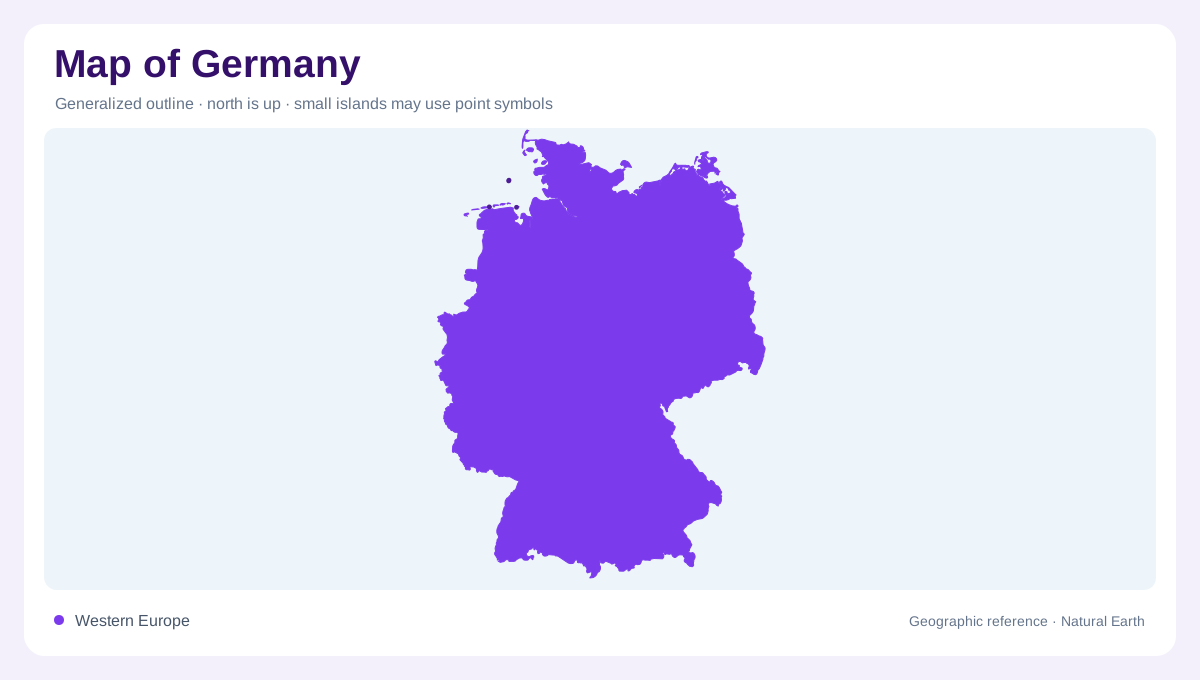
A country with two maritime settings
Germany reaches both the North Sea and the Baltic Sea, a distinction that broad continental maps can easily understate. Its inland landscapes also vary, combining plains with hills and mountains rather than following a single national terrain pattern. Forests and agricultural areas occupy much of this land, while rivers connect different regional environments. The country's geography is therefore not exhausted by a network of city names. A useful overview begins with relief, water and coastlines, then places settlements within them. This approach makes the northern maritime fringe part of the same geographic account as Germany's varied and more elevated interior.
The Wadden Sea and Frisian islands
Along the North Sea, the Wadden Sea introduces mudflats and islands into the coastal outline. The East Frisian and North Frisian groups belong to different stretches of this shore. Borkum and Baltrum are East Frisian examples; Amrum and Pellworm belong to North Frisia. Their surroundings illustrate why a coastline drawn as one fixed edge cannot fully describe a tidal landscape. Water and exposed flats alternate across areas between islands and mainland. Beaches, dunes and low ground add further distinctions on the islands themselves. The coastal geography includes these intervening environments, not just the dry land represented by familiar island names.
Heligoland breaks the low coastal pattern
Heligoland provides a striking counterpoint to the broad flats and sandy shores associated with much of Germany's North Sea coast. Its red sandstone cliffs rise offshore, giving the island a different geological and visual character. Distance from the mainland also separates this setting from islands embedded within the Wadden Sea fringe. The contrast is useful because the word island describes separation by water, not a uniform landform. A cliff bounded rock mass and a low sandy island may share that classification while differing in relief and shoreline structure. Germany's offshore geography contains both, requiring more than one coastal landscape shorthand.
Baltic shores have their own variety
Germany's Baltic islands should not be treated as extensions of the Frisian groups. Hiddensee combines sandy beaches with salt marshes, cliffs and pine woodland, while Fehmarn includes beaches, lakes and cliff sections. Poel supplies another named island reference along the Baltic shore. These examples reveal considerable variety within the eastern maritime setting itself. Even one island can contain several coastal forms, so a national map's simplified perimeter hides important local differences. Distinguishing the Baltic from the North Sea is only the first step; closer reading then separates sheltered margins, exposed shorelines and elevated coastal sections within each of these northern regions.
Freshwater islands connect rivers and mountains
Germany's islands also occur inland. Harriersand lies on the Weser between Bremen and Bremerhaven, while Mariannenaue occupies the Rhine in the Rheingau. Farther south, Reichenau and Mainau belong to Lake Constance, and Fraueninsel lies in Lake Chiemsee beneath the mountain setting of the Chiemgau Alps. Berlin's Museum Island has a river setting on the Spree. These examples connect the island theme with Germany's varied continental interior. A freshwater island differs from a Frisian coastal island in its surrounding waters, even where both have low shores. Rivers, lakes and alpine relief therefore broaden the geography beyond the two northern seas.