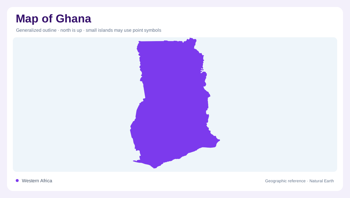
A southward opening on the Atlantic
Ghana occupies a roughly rectangular stretch of West Africa, opening southward onto the Gulf of Guinea. Ivory Coast lies to its west, Burkina Faso to its north and Togo along its eastern side. This arrangement makes the coastline one edge of a much larger inland landscape. A map centred only on the shore understates the importance of the northern plains and the Volta basin. Conversely, a continental outline hides the contrast between the broad interior and the narrow eastern uplands. Following the country from south to north reveals changing rainfall, vegetation and drainage without crossing an enormous mountain barrier.
The basin behind Lake Volta
The Volta basin provides Ghana with its most recognisable inland water pattern. Lake Volta occupies branching drowned valleys rather than a simple rounded depression, so its narrow arms reach far into the surrounding terrain. The Black Volta, White Volta and Oti belong to a river system extending beyond Ghana. Their catchments explain why national boundaries are not the limits of the country's water geography. Downstream, the Volta continues toward the southeastern coast. Reading tributaries before the lake outline makes the relationship between northern drainage, central storage and the coastal outlet easier to understand, especially on a small physical map.
Uplands with different shapes
West of the basin, the Ashanti uplands form an extensive belt of elevated, rolling country. They differ from the more sharply expressed Akwapim and Togo ranges in the east. Those ridges trend northeastward from the vicinity of Accra and continue across the frontier, making relief a regional feature rather than an exclusively Ghanaian one. Contours help distinguish the broad uplands from the narrower ridges: equal elevation does not necessarily mean equal steepness. Between these raised areas, the lower basin occupies a substantial part of central Ghana. The resulting pattern is more varied than a single lowland colour would suggest.
Coastal plains and separate catchments
Southern Ghana is not drained entirely by the Volta. The Pra, Ankobra and Tano systems carry water through the southwest toward the Atlantic, creating separate coastal catchments. Their valleys divide the rolling landscape into corridors whose directions differ from the great central basin. Low coastal plains include river mouths and lagoon environments, while inland ground rises gradually or through local escarpments. The wetter southwest contrasts with the comparatively drier southeastern coastal belt. A coastline therefore gives only the outer shape; river mouths, wetlands and the inland divide show how distinct parts of southern Ghana relate to that common maritime edge.
Northern plains in the national picture
The northern and northwestern high plains sit beyond much of the central basin's lower terrain. Their dissected surfaces and seasonal rainfall distinguish them from the humid southern forest zone. Rivers remain useful organising lines, but their presence does not imply uniform water availability through the year. Compare drainage with relief and vegetation to see why neighbouring districts can have different physical settings. Ghana's geographic structure emerges from these overlapping patterns: Atlantic frontage, southwestern river systems, the central Volta network, eastern ridges and northern plains. None alone represents the entire country, and their boundaries rarely coincide neatly with a map's local and administrative divisions.