At the Mediterranean's western entrance
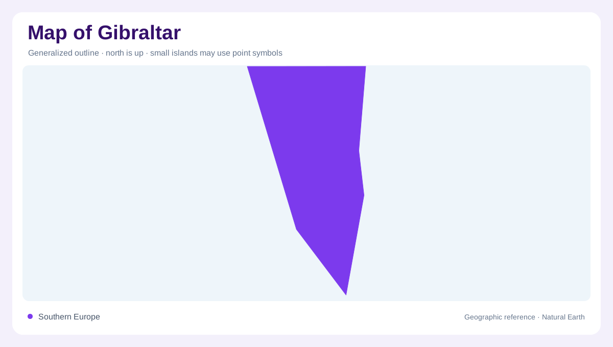
Gibraltar occupies a small peninsula at the southern end of Iberia, beside the strait linking the Atlantic and Mediterranean. Spain lies immediately to the north, while Morocco is across the water to the south. These relationships explain its prominence on regional maps despite its small land area. The strait is a maritime passage between continents, not a land connection. A local map should retain enough surrounding coast to establish that setting before enlarging the peninsula. Gibraltar is near Europe's southern extremity, but its location should not be confused with a claim that it is the continent's southernmost mainland point.
The limestone ridge
The Rock is principally Jurassic limestone and rises steeply above the surrounding low ground. Its highest point is at O'Hara's Battery. This ridge dominates local relief, making the peninsula's small horizontal dimensions misleading if interpreted without elevation. A site close to another on a flat map can occupy a very different level. Limestone also gives the landscape an underground dimension through caves and fissures. A geological view therefore complements the familiar silhouette: the Rock is both a prominent limestone surface landform and a body of rock through which water can move, rather than simply a single isolated summit above town.
Town below the western slopes
The main urban area lies below the Rock's western side, facing the bay. Main Street runs through the historic town between Casemates Square and Southport Gates, providing a useful local orientation within the built area. That street pattern should not be mistaken for the whole territory, which also includes steep slopes, coastal edges and northern low ground. At town scale, buildings and streets dominate the picture; at peninsula scale, the ridge explains their setting. Comparing both views shows why the urban footprint is concentrated where terrain permits and why the high Rock remains conspicuous even beside dense development.
Wind shaped by a narrow passage
Gibraltar's topography interacts with winds moving through the strait. Easterly conditions can bring humid air and a cloud cap around the Rock, while westerly conditions produce a different local weather pattern. The cloud is a useful illustration of geography in action: air encounters a steep barrier beside a narrow marine passage. It does not mean every part of the peninsula has identical conditions at the same moment. The surrounding Atlantic and Mediterranean also influence the setting. A physical map helps explain those exposures, although it cannot supply a current forecast or describe visibility on any particular day at the summit.
Water and the scale of the peninsula
Gibraltar's limited land area leaves little room for the extensive river basins familiar on continental maps. Desalination, wells and reservoirs within the Rock are part of its water geography, connecting the maritime setting with underground storage. These features belong to infrastructure and geology rather than a natural river network. The narrow northern connection to Spain completes the peninsula's basic shape, while sea bounds its other sides. Reading Gibraltar accurately requires three nested frames: the strait between Europe and Africa, the limestone ridge within the peninsula and the town below it. Each frame explains relationships that disappear when the map is enlarged too far.