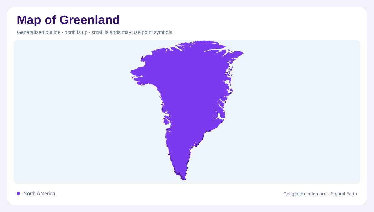
An island larger than its coastal fringe
Greenland lies between the Arctic and North Atlantic oceans, east of the Canadian Arctic islands. Its outline encloses an ice sheet covering most of the land, with ice free coastal regions forming a much smaller share. A map dominated by settlement labels can therefore misrepresent the balance between inhabited margins and interior ice. Nuuk provides a southwestern coastal reference, while other settlements occupy widely separated coastal locations. The island's shape and the ice sheet's shape are related but not identical. Keeping both boundaries visible is the first step toward understanding a geography in which most land is concealed beneath accumulated ice.
A moving surface above buried terrain
The Greenland Ice Sheet is a mass of land ice, not frozen ocean. It thickens into an interior dome and flows outward under its own weight. Beneath it lies a separate landscape of bedrock whose elevations differ from those of the visible ice surface. This distinction matters when comparing maps: a high point on the ice is not necessarily a mountain summit in the underlying rock. Surface elevation, ice thickness and bedrock relief answer different questions. Together they show why Greenland cannot be interpreted using only the convention of colouring exposed land according to its height above the sea.
Outlet glaciers connect interior and coast
Ice moving from the interior becomes concentrated in outlet glaciers near the margins. Sermeq Kujalleq, also called Jakobshavn Isbræ, is an example of a fast moving Greenland outlet glacier. Such channels transfer ice toward coastal waters, where pieces can break away as icebergs. Their geographic role resembles a connection between interior storage and the ocean, although ice flow is not the same process as a river carrying liquid water. Glacier fronts also move over time. A mapped terminus should consequently be interpreted with its observation date, when comparing coastal imagery produced in different years or seasons.
Fjords and separated coastal places
Along the coast, fjords penetrate land between mountainous margins and glacier outlets. These narrow marine inlets can extend far inland, making a coastline far more intricate than a continental outline suggests. Nearby points across a fjord remain separated by water, while a locality's inland surroundings may quickly rise toward ice or rock. Greenland's coastal settlements are therefore better understood as distinct places within a complex margin than as one continuous urban strip. A regional view of the southwest, Disko Bay or eastern coast needs enough detail to preserve those water gaps and enclosing landforms, which are easily lost at island scale.
Ice boundaries and map projection
High latitude projections can strongly alter Greenland's apparent size and shape relative to lower latitude countries. Compare areas using an appropriate projection rather than the visual width of a world map. Within Greenland, distinguish the coast, seasonal snow, glacier ice and the main ice sheet instead of treating every white area as equivalent. Ice gains mass through snowfall and loses it through melting and discharge, so its margins belong to a changing landscape. The stable geographic framework is the large island and its coastal setting; the ice surface adds a moving layer whose thickness, flow and extent require specialised mapping and dated observations.