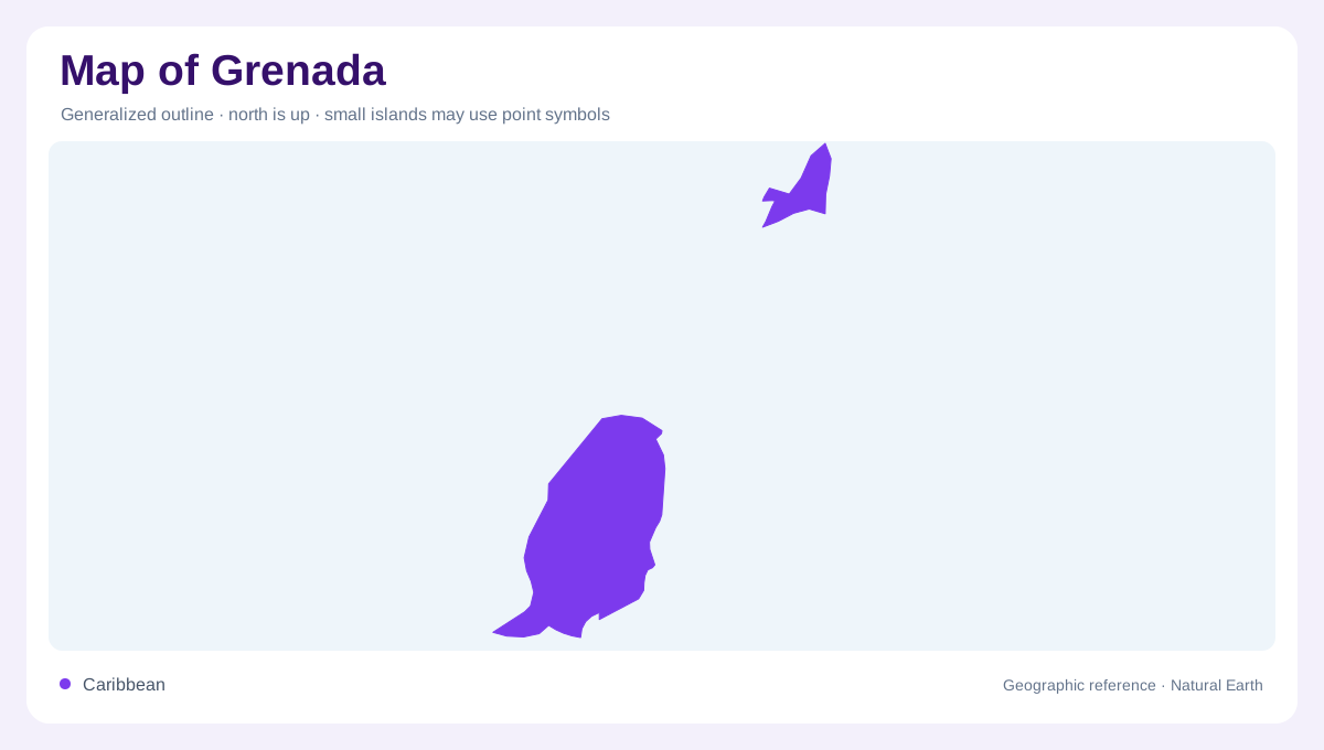
Three islands within a longer chain
Grenada belongs to the southern Lesser Antilles, north of Trinidad and Tobago. Its name refers both to the principal island and to a country that also includes Carriacou and Petite Martinique. These smaller islands extend the geographic picture northeastward into the Grenadines. A map that crops tightly around the largest island consequently misses part of the territory. At Caribbean scale, the island chain provides the clearest orientation; at local scale, coastlines and intervening sea passages become essential. The country should be read as separated pieces of land within one maritime setting, not as a continuous coastal strip.
A steep volcanic interior
On the main island, mountainous terrain occupies much of the interior. A northward trending mountain chain divides slopes facing different coasts and produces short, closely spaced drainage basins. The relief is striking relative to the island's modest width: a position near the sea may still lie below steep ground. Broad flat inland plains are not the dominant form. Shaded relief makes the central heights visible, while contours explain the descent toward bays and river mouths. Volcanic origins also help account for the island's varied landforms, although individual slopes and coastal areas should not be assumed to share identical rock.
Rain follows the heights
Rainfall rises substantially between coastal districts and the central mountains. That contrast gives the uplands a role beyond their visual prominence: they supply many of Grenada's streams. The Grand River and Beausejour basins are among the larger catchments, with smaller systems spreading toward other parts of the coast. Because the island is narrow, these rivers do not form continental journeys across extensive plains. Their short courses instead connect high rainfall areas with nearby lowlands. Seasonal differences remain important even for perennial rivers, whose flows diminish during drier months. A drainage map therefore represents channels more reliably than a constant volume of water.
Lakes within the volcanic landscape
Grand Etang occupies a basin surrounded by tropical rainforest in the interior. Lake Antoine provides another named lake farther toward the northeastern part of the island, while Levera pond lies within a coastal wetland setting. These waters should not be treated as interchangeable blue patches. Their elevations, surrounding vegetation and relationships with the coast differ. Grand Etang's mountain position links it to the wetter interior; Levera's mixed fresh and saline environment connects its interpretation to coastal processes. Marking the surrounding catchment as well as each waterbody helps explain why a small lake can be significant despite occupying little map space.
Separating capital and island coverage
Saint George's is the capital, but its label cannot stand for every part of Grenada's geography. The six parishes on the main island divide a landscape already shaped by ridges and river basins. Carriacou and Petite Martinique require their own detail rather than being compressed into decorative offshore dots. When comparing island panels, check their scales before judging relative widths or distances. The larger island's wet mountain catchments are a useful starting point, not a description automatically transferable to its neighbours. Retaining the whole island group alongside a detailed main island view gives Grenada both its local relief and its regional context.