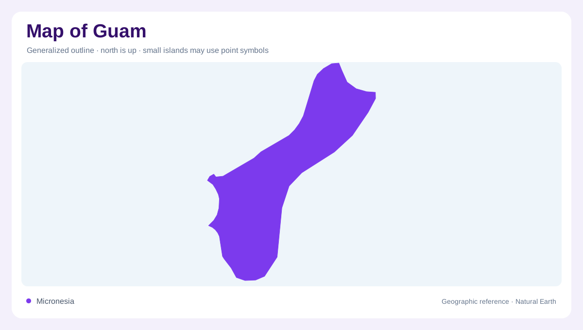
A Mariana island in the western Pacific
Guam lies in the western Pacific at the southern end of the Mariana island chain. It is a separate United States territory from the Northern Mariana Islands, so the whole chain should not be labelled as one territorial unit. The island's elongated outline contains coastal bays, higher inland terrain and smaller offshore features. At ocean scale, its isolation is conspicuous; at island scale, differences between individual shores become useful. A locator map and a physical map therefore serve different purposes. The former establishes Guam within Micronesia, while the latter explains how its land and surrounding shallow waters fit together.
Coastlines with an underwater extension
Coral reefs surround Guam, extending its geography beyond the exposed shoreline. The reef margin, lagoon or shallow coastal water and dry land are separate surfaces that can disappear into one boundary on a small map. Reef positions help explain the difference between an open ocean edge and a more sheltered coastal setting. They should not be interpreted as navigation guidance, since depth and conditions require appropriate charts. The island's marine habitats also include seagrass beds, whose submerged vegetation differs from coral communities. A habitat view therefore adds information that neither a road map nor a simple land outline can provide.
Asan joins slopes and shore
Asan Beach and the overlooking ground provide a western coastal reference within War in the Pacific National Historical Park. Their relationship makes the island's vertical dimension visible: the shore sits below inland slopes rather than extending across a flat island. Historical site labels coexist here with living coastal and terrestrial environments. Reading the relief first helps separate a beach, an overlook and a hillside even when their symbols cluster together. The park includes several kinds of habitat, so its boundary should not be mistaken for the edge of one uniform natural landscape or one continuous stretch of identical shoreline.
Forests, grasslands and freshwater pockets
Within the park's landscapes are limestone forests, tropical savanna grasslands, streams, bogs and forest wetlands. These environments reveal contrasts that an ocean centred image of Guam can miss. Limestone forest occupies a different setting from wet ground or open grassland, and each requires its own interpretation of substrate, drainage and vegetation. Streams connect inland areas with coastal receiving zones, while wetlands retain water within lower or poorly drained ground. A vegetation map is useful only if those categories remain distinct. Showing everything inland as tropical greenery would conceal the ecological variation present within a compact portion of the island.
Small islands and larger geographic context
Offshore islets and coastal wetlands add further detail around Guam's margins. Their scale is small beside the main island, yet they form separate pieces of the coastal environment. Hagåtña provides an urban reference on the western side, while park landscapes demonstrate that settlement does not define every shore. The clearest geographic reading keeps these layers separate and connected: the Mariana chain establishes location, the island outline establishes land, and reef and habitat maps reveal finer structure. Guam then appears as a varied island system with underwater and inland environments, rather than a single beach frontage surrounded by an undifferentiated expanse of Pacific blue.