An isthmus with unequal sea fronts
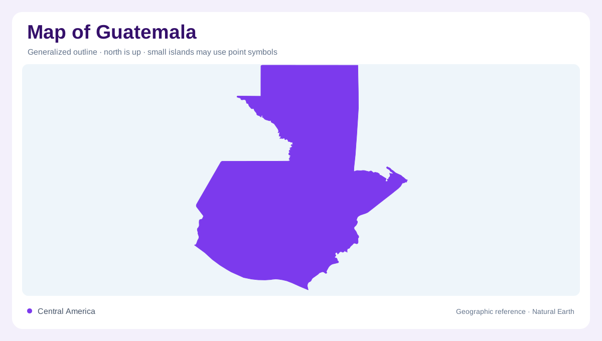
Guatemala occupies the northern part of the Central American isthmus, adjoining Mexico, Belize, Honduras and El Salvador. Its long Pacific frontage contrasts with a much smaller Caribbean opening. This imbalance matters when reading its outline: proximity to one coast does not explain where all the country's rivers go. Northern Guatemala extends inland toward the Yucatán landscape, while the southern country rises abruptly into mountainous terrain. The border encloses several distinct physical regions rather than one narrow strip between oceans. A regional map should therefore retain both the northern lowlands and the eastern maritime opening alongside the more conspicuous Pacific coast.
Volcanoes above the Pacific plain
The Sierra Madre and volcanic highlands give southern Guatemala its steep profile. Below them, the Pacific coastal plain forms a lower belt where rivers deliver material eroded from the uplands. The relationship is directional: high catchments feed channels descending toward a comparatively nearby ocean. Volcanic sediments can accumulate on that plain, so the shore and the mountains belong to one connected landscape. On a relief map, isolated summits should be read together with the surrounding upland surface. A volcano symbol alone cannot show the valleys, plateaus and steep slopes separating one highland locality from the next across this region.
Three destinations for flowing water
Guatemala's drainage divides among the Pacific Ocean, Caribbean Sea and Gulf of Mexico. Pacific rivers generally have a short descent from high ground. The Motagua belongs to the Caribbean side, whereas northern rivers enter Mexico before reaching the Gulf of Mexico. These three destinations explain why a national drainage map looks more complex than its two visible coastlines suggest. Water leaving the northern frontier has not disappeared from the system; its journey continues outside the map frame. Catchment boundaries also cut across administrative divisions, making them useful for understanding physical connections that a departmental map does not directly display.
Northern limestone and hidden drainage
Petén introduces a different terrain vocabulary from the volcanic south. Northern sedimentary country includes limestone in which dissolution creates karst features and allows water to move underground. Surface channels consequently reveal only part of the drainage pattern. Lakes, depressions and areas without a dense visible river network must be interpreted alongside the underlying geology. A pale lowland colour does not mean an entirely flat or hydrologically simple surface. The contrast with the Pacific plain is especially instructive: both can appear relatively low at national scale, yet one is associated with limestone terrain and the other with sediment arriving from volcanic uplands.
Highland valleys at a closer scale
Between the mountain ridges, highland valleys provide smaller areas of gentler ground. Groundwater in the volcanic highlands is significant because surface supplies are uneven, a reminder that mapped rivers are not the only water resource. The country's crystalline highlands add another geological region between the volcanic belt and northern sedimentary terrain. Reading Guatemala from a broad outline down to individual basins therefore reveals several overlapping divisions: elevation, rock type and drainage destination. Keep those distinctions separate when interpreting a lake or valley. Its geographic role depends on the surrounding landform, not simply its distance from Guatemala's nearest international boundary or shoreline.