Four regions behind one Atlantic coast
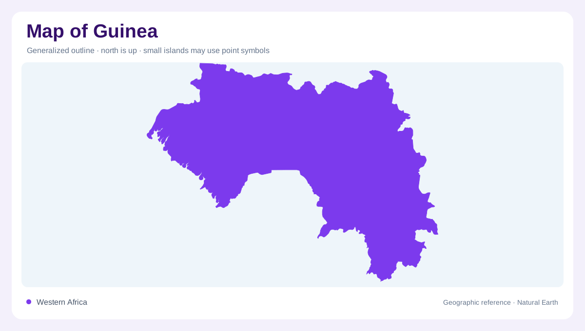
Guinea stretches inland from the Atlantic coast of West Africa, adjoining Guinea-Bissau, Senegal, Mali, Ivory Coast, Liberia and Sierra Leone. Its physical geography is commonly divided into Maritime Guinea, Middle Guinea, Upper Guinea and Forest Guinea. These names describe contrasting landscapes rather than four variations of the same coastal environment. Moving inland crosses lowlands, high plateaus and subdued interior surfaces, while the southeast contains forested mountain country. A national map becomes easier to interpret when those regions are located first. They explain why the same country contributes water to Atlantic rivers and to systems extending far across West Africa.
Maritime Guinea's lowland edge
The western coastal belt includes plains and low terrain associated with recent river and delta deposits. It faces the Atlantic between Guinea-Bissau and Sierra Leone, with inland high ground rising behind it. This arrangement gives coastal rivers short geographic connections to wetter elevated catchments. The ocean margin should be read together with estuaries and the lowlands through which those rivers approach the sea. Maritime Guinea receives more rainfall than the drier Upper Guinea interior. That contrast reinforces the importance of distinguishing the coast from the entire national territory, even where a regional map shows both within the same tropical zone.
Fouta Djallon as a watershed
Fouta Djallon occupies much of Middle Guinea, forming a complex of high plateaus and mountain massifs. It is a major source region for West African rivers. The plateau surface is not an uninterrupted table: valleys dissect it and direct water toward different surrounding regions. A divide near a river's headwaters can determine whether rainfall joins an Atlantic catchment or travels through a much longer international system. This is why Fouta Djallon's geographic significance exceeds its footprint on the map. Elevation, rainfall and the outward arrangement of channels combine to make it a regional watershed rather than simply a local upland.
Upper Guinea and the Niger system
Upper Guinea contains older inland surfaces with less dramatic relief than the central highlands. Much of this eastern and northeastern country belongs to the Niger basin. The river system ultimately reaches places far beyond Guinea, so a small national map displays only the beginning of a much longer drainage story. The Senegal basin also occupies part of the country, alongside numerous coastal basins. These outlets point in different directions and cross several frontiers. Comparing the basin boundaries with the four natural regions reveals overlapping patterns: a landscape region describes terrain and environment, while a watershed identifies where its water goes.
Forest Guinea's southern mountain country
In the southeast, Forest Guinea contains granitic and gneissic massifs separated by valleys and low ground. Together with the wider Guinean highland spine, these heights provide another source region for rivers. Their forest setting differs from the more open interior country farther north, although vegetation varies locally and changes over time. Rainy and dry seasons also vary in length between regions. Guinea's map should therefore retain several distinctions simultaneously: coastal deposits, Fouta Djallon's dissected highlands, the Upper Guinea interior and southeastern massifs. Those differences explain its headwater role without reducing a diverse country to one mountain range or one river source.