Where mainland and islands meet
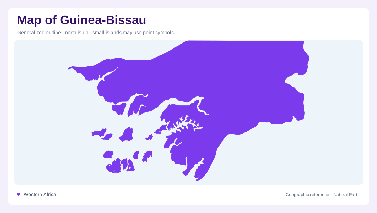
Guinea-Bissau faces the Atlantic between Senegal to the north and Guinea to the east and southeast. Its territory includes the Bijagós archipelago, so the mainland outline is only part of the picture. Broad estuaries cut into the coast and separate projecting stretches of land, making the western margin intricate. At a distance, islands, channels and tidal inlets may merge into a confused coastal fringe. Enlarging this zone reveals a country shaped by the meeting of rivers and ocean. The offshore islands need their own labels and retained positions rather than an inset that suggests they are attached to the mainland.
Low ground with an eastern exception
Most of Guinea-Bissau has subdued relief. The principal exception is the Boé hill country in the southeast, where elevations rise above the surrounding lowlands. This is an upland region rather than a continuation of a towering mountain chain. Nevertheless, it matters because even limited changes in height influence drainage and the extent of wet ground. Contour spacing can reveal distinctions that a continental relief map suppresses. A broad green lowland tint should not erase the difference between tidal margins, inland plateaus and the Boé hills. Their separate positions explain more than a single national average elevation could convey.
Following the Geba and Corubal
The Geba and Corubal are major elements of Guinea-Bissau's river geography. Other named waterways include the Cacheu, Mansôa, Cumbidja and Cacine, together with the broad Buba inlet. Water entering from neighbouring Guinea links national rivers to catchments beyond the frontier. Downstream, channels widen toward the Atlantic and interact with tides. An estuary's width therefore cannot be read simply as a measure of freshwater discharge. Trace each channel inland to separate its river basin from its marine reach. This approach also helps distinguish coastal indentations that look similar in outline but belong to different drainage systems or tidal environments.
Wetlands between salt and fresh water
Mangrove margins and other wetlands occupy extensive parts of the coastal landscape. Their distribution reflects low elevation and the interaction of rainfall, river water and tidal salt water. In cultivated wetland areas, embankments and barriers can alter that balance by limiting saltwater entry and retaining fresh water. These managed surfaces remain geographically connected to the estuaries around them. A land cover map may show vegetation or fields where a simpler map only indicates coastal lowland. Neither representation alone explains the hydrology. The key relationship is between the height of the land, its drainage connections and the water reaching it from opposite directions.
Rainfall across the coastal interior
The northeastern interior has a pronounced contrast between rainy and dry seasons. Farther toward the maritime southwest, the setting changes, although seasonal variation remains important throughout the country. River channels shown continuously on a map do not promise an unchanging flow. Groundwater emerging from plateau margins can contribute to watercourses when rain is limited. Guinea-Bissau consequently rewards a map reading that joins the offshore archipelago, estuary network and low inland divides. These elements form one physical system while retaining distinct characters. The Boé hills complete that interpretation by showing that even a predominantly low country contains a meaningful direction of rising ground.