South America facing the Atlantic
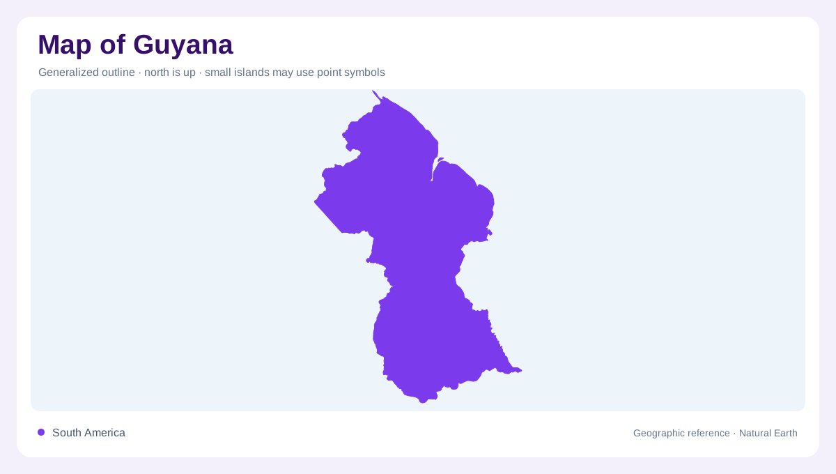
Guyana lies on the northern side of South America, facing the Atlantic rather than occupying a Caribbean island. Suriname lies to the east, Brazil to the south and southwest, and Venezuela to the northwest. The coast forms a narrow outer edge below an inland territory. A map focused on coastal settlement can therefore give a distorted impression of the country's physical extent. Interior forests, plateaus and savannas occupy areas beyond that thin maritime belt. Boundary depictions should be read with their explanatory legends, especially where claims differ; river geography can be described without treating a particular outline as a sovereignty judgment.
A low coastal receiving plain
The coastal plain occupies a small part of Guyana compared with its interior. Rivers arriving from inland cross this low belt before entering the Atlantic, so drainage is central to its geographic interpretation. Georgetown provides a coastal reference, but the plain extends beyond the capital's urban footprint. At detailed scale, channels and managed drainage features matter more than a national relief map suggests. Low elevation does not imply that water moves easily in every direction. The relationship between river discharge, flat ground and the ocean makes the coastal landscape distinct from the sandy hills and highlands behind it.
The white sand belt inland
South of the coastal zone lies a belt of sandy hills and occasional rocky outcrops. Often called the white sand belt, it forms a transition into the interior rather than another coastal plain. Forest cover can make its relief difficult to infer from a simple land cover map. The sandy substrate also differs from the deposits of the low coastal area. Comparing geology, elevation and rivers reveals that these neighbouring belts have different physical properties. Their boundaries need not be sharp lines everywhere, but the change is important when reading Guyana from its Atlantic edge toward the larger inland landscape.
The Essequibo and neighbouring rivers
The Essequibo is Guyana's major river, extending from the southern border region to an outlet west of Georgetown. The Potaro, Mazaruni and Cuyuni form important parts of its wider drainage network. Farther east, the Demerara and Berbice provide separate routes from interior catchments toward the Atlantic, with the Canje associated with the Berbice system. These rivers explain the repeated northward grain visible on a national map. Waterfalls interrupt some inland reaches, so a continuous blue line should not be interpreted as uninterrupted navigability. The channel's cartographic continuity describes drainage, not a promise of transport through every part of the basin.
Highlands and Rupununi savannas
The interior includes plateaus, flat topped mountains and savannas, with the Rupununi providing a southern savanna setting. This variety prevents the inland country from being described simply as one continuous forest. The highland region is much larger than the coastal plain, yet often receives fewer labels on small maps. Relief and vegetation together reveal its different environments. Rainfall also varies between regions, with the Rupununi differing from wetter parts of the country. Keeping coast, sand belt and interior visible in one frame shows how the rivers link these contrasting zones while retaining separate basins, elevations and ecological settings along their courses.