Western Hispaniola and its satellites
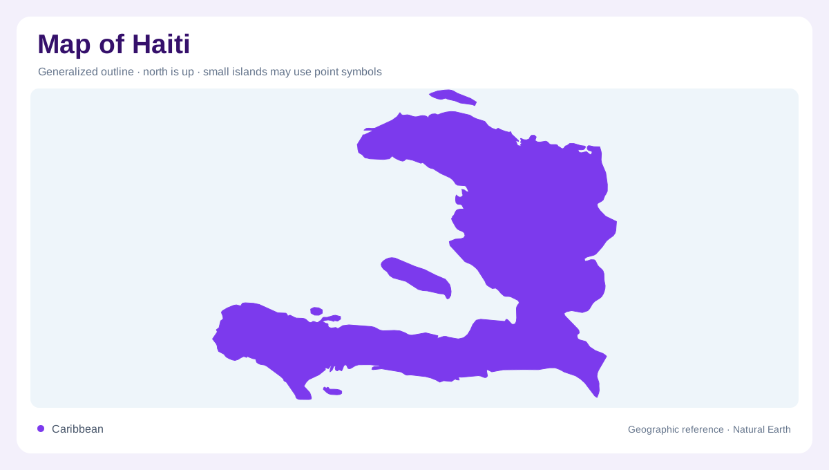
Haiti occupies the western part of Hispaniola, sharing the island with the Dominican Republic. Its outline opens around the Gulf of Gonâve, with projecting northern and southern landforms giving the country a shape unlike a compact rectangle. Islands are integral to the geography: Gonâve, Tortue, the Cayemites and Île-à-Vache extend coverage beyond the main landmass. Their positions matter more than their visual size on a regional map. The surrounding Atlantic and Caribbean waters provide the setting, while the gulf creates an internal maritime space between parts of Haiti that may appear close across water but remain separated by it.
Ranges that organise the landscape
Mountain relief dominates much of Haiti. The Massif du Nord, Massif de la Hotte and Massif de la Selle are major reference points, with Pic la Selle providing the highest summit. These ranges divide catchments, interrupt lowland continuity and create strong contrasts over short distances. Coastal plains should therefore be read as particular pockets or corridors rather than a continuous flat fringe. A shaded map makes the mountains conspicuous, but valley floors deserve equal attention. They show where drainage gathers and where relatively gentle terrain lies within a country whose broad outline alone gives little indication of its steepness.
The Artibonite crosses a frontier
The Artibonite is Haiti's largest river basin, and its headwaters lie in the Dominican Republic. That upstream connection makes the international boundary a poor stopping point for understanding the river. Within Haiti, the basin links interior terrain with lower ground toward the coast. Other rivers begin in the country's mountain massifs and form shorter systems, including the Grande Rivière du Nord and rivers draining the southern ranges. Comparing catchments explains why two coastal towns need not share a water source despite appearing near each other. Their rivers can descend from different slopes separated by ridges that the shoreline does not reveal.
Plains and water beneath them
The Artibonite valley, Cul-de-Sac, northern plain and plains around Les Cayes and Léogâne interrupt the mountainous pattern. These lower areas contain important alluvial groundwater settings, distinct from the more fragmented aquifers of rugged terrain. A water map showing only open rivers misses that underground dimension. The Cul-de-Sac also illustrates why an inland depression should not be confused with an ordinary coastal slope. Compare elevations and enclosing ridges before inferring the direction of drainage. Within Haiti, small expanses of low ground can carry geographic significance because they contrast so strongly with neighbouring massifs and their steeply divided catchments.
Mountains redistribute the rain
Rainfall varies substantially with exposure and relief across Haiti. Different parts of the country do not share an identical seasonal pattern, and river flow changes through the year. Steep slopes connect upland rainfall to lower valleys, while erosion can move soil and sediment along those same pathways. This makes watershed shape a useful companion to settlement and administrative maps. Offshore islands also have their own relief and should not be assumed flat merely because they are small. Reading Haiti well means keeping the main island ranges, individual lowland basins and surrounding islands visible together, with the Artibonite's foreign headwaters included in the wider frame.