A remote group north of Antarctica
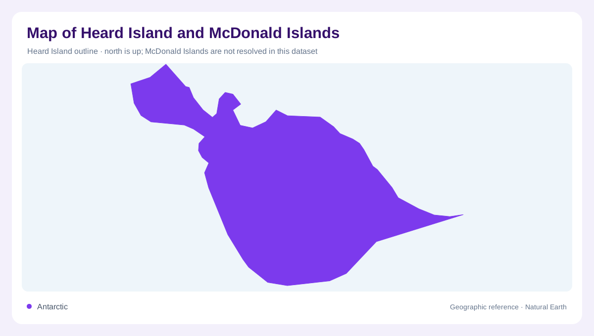
Heard Island and the McDonald Islands form an Australian external territory in the Southern Ocean, far southwest of mainland Australia and north of Antarctica. The nearest land is the Kerguelen archipelago to the northwest. That isolation is a geographic fact: a small inset beside Australia cannot convey the expanse of intervening water without a locator and scale. Heard is the larger island, while the McDonald Islands are a group. The territory has no permanent resident population, so a map concentrates on coastlines, relief, glaciers and scientific locations rather than inventing an urban hierarchy or a conventional road network.
Big Ben beneath a mantle of ice
Big Ben dominates Heard Island as an active volcano crowned by Mawson's Peak. Much of the island is glaciated, creating an overlap between volcanic construction and ice shaped terrain. A summit marker tells only part of that story. Glacier margins, exposed rock and coastal lowlands show how the central mountain relates to the surrounding island. The island's compact outline does not imply gentle ground; relief rises within a short distance of the sea. Interpreting an ice covered slope also requires distinguishing the glacier surface from the underlying volcanic terrain, which may not be visible in ordinary imagery.
A shoreline that changes
Heard Island's glaciers have retreated, altering the balance between ice covered and exposed ground. The McDonald Islands have also changed through volcanic activity, which enlarged the main island during the late twentieth century. These are different mechanisms of geographic change: ice retreat reveals land, while eruptions can construct or reshape it. Consequently, a historical coastline or glacier boundary is not an accurate representation of the present. Mapping dates matter here. Comparing editions can reveal real landscape change rather than cartographic error, provided the reader distinguishes different survey methods from changes in the islands and their ice cover.
Ocean fronts and living shores
The islands lie south of the Antarctic Convergence, where cold Antarctic waters meet warmer subantarctic waters. This oceanographic setting is separate from the political designation of the territory and from the coastline itself. Seabirds and marine mammals use the islands, including penguins, petrels, elephant seals and fur seals. Their colonies connect terrestrial breeding or resting areas with feeding waters offshore. A habitat map therefore needs more than the land boundary. Coastal rocks, exposed ground and surrounding marine areas belong to one ecological setting, although the species present at a particular locality require observations rather than inference from a general island outline.
Reading scientific and historical locations
Atlas Cove is a named coastal reference on Heard Island, useful for orienting imagery and expedition accounts. A place label of this kind does not denote a town or imply facilities available to visitors. Scientific visits are episodic, and the islands' severe weather and isolation remain central to their interpretation. Marine reserve boundaries add another mapped layer around the land, distinct from both physical shorelines and ocean fronts. The clearest account keeps those categories separate: Heard's volcanic summit and glaciers, the independently changing McDonald group, coastal research references and the surrounding Southern Ocean. Together they describe a remote natural territory without suggesting ordinary settlement or routine access.