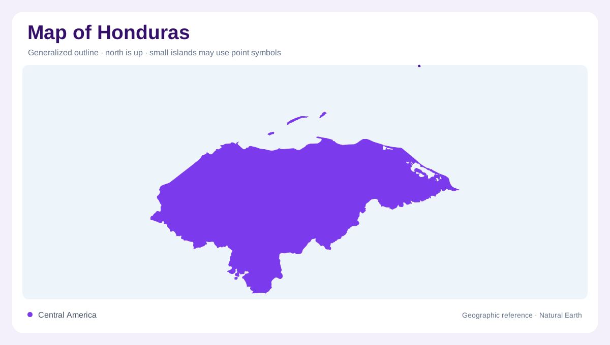
A country facing mostly north
Honduras has a long Caribbean coast along its northern and northeastern edge and a smaller Pacific frontage on the Gulf of Fonseca. Guatemala lies to the northwest, El Salvador to the southwest and Nicaragua to the southeast. The two coasts are not equivalent margins of a symmetrical isthmus. Most of the country drains toward the Caribbean, while a southern area feeds Pacific waters. The Bay Islands add an offshore dimension to the northern picture. A complete outline needs those islands as well as the mainland, without letting their prominence in regional imagery obscure the larger mountainous interior.
Mountain systems and the Comayagua depression
Western and eastern mountain systems frame much of Honduras. Between them, the Comayagua depression creates a contrasting lower corridor, interrupting what might otherwise look like uninterrupted high country. Relief divides the interior into valleys and basins whose floors can differ greatly from surrounding slopes. A city symbol within the mountains does not mean that the settlement occupies a summit; local topography is necessary to interpret its position. The same distinction applies to cultivated land. Broad national shading can hide level basin floors within steep regions, so the Comayagua corridor is a useful anchor when moving from country scale to regional detail.
The larger Caribbean drainage slope
The Atlantic drainage slope covers most of Honduran territory and carries the larger share of runoff. Its rivers connect interior mountains with the northern coastal belt and eastern lowlands. The Motagua brings a connection with Guatemala, while the Coco, also called Segovia, links the eastern border region with Nicaragua. These are transboundary systems, not waterways explained entirely within a single national frame. Their lower courses differ from steep headwaters, and floodplain or estuary symbols should be interpreted accordingly. Following a river upstream reveals which upland basin contributes to a coastal landscape and which neighbouring valley belongs to another system.
A smaller southern watershed
The Pacific side drains a narrower portion of the country toward the Gulf of Fonseca. The Goascorán originates in Honduras and forms part of the boundary with El Salvador, while the Lempa basin connects Honduras with both El Salvador and Guatemala. This makes southern water geography regional despite the short Honduran coastline. A river crossing or following a frontier retains its physical continuity even where cartographic colours change. The gulf itself is a shared coastal setting, so a map clipped tightly to Honduras can conceal surrounding headlands and waters. Enlarging the frame clarifies the relationship between the southern valleys and their outlet.
Coastal breadth and interior detail
Honduras combines steep uplands with lower coastal and river landscapes, rather than presenting one uniform tropical surface. The Caribbean side generally receives a different rainfall pattern from the more seasonally dry Pacific slope. Relief and exposure help explain that distinction. Offshore, the Bay Islands need a marine scale appropriate to their separation from the coast; inland, valley maps need enough detail to preserve divides. Comparing those views prevents the country's shoreline from dominating every interpretation. The essential physical structure is a large Caribbean catchment area, a smaller Pacific one and an interior broken into mountain blocks and lower corridors between them.