More than a harbour skyline
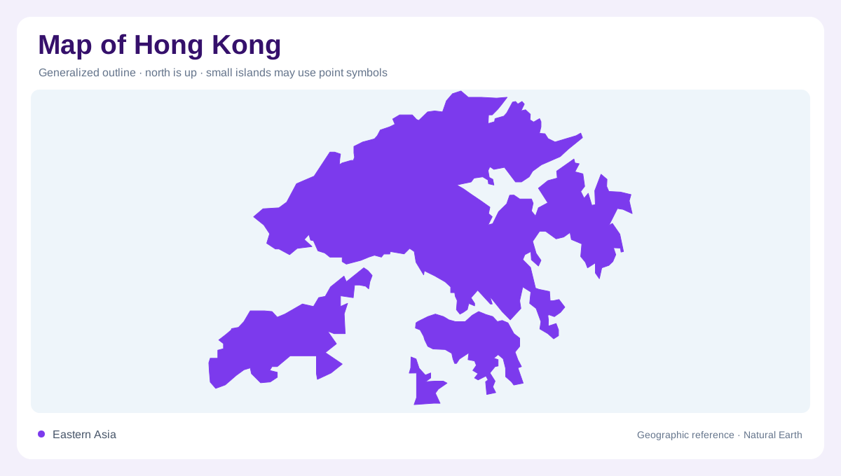
Hong Kong occupies a coastal position at the southeastern edge of China. Its geography includes Hong Kong Island, the Kowloon Peninsula, the New Territories and other islands. Treating the name as a synonym for the densely built harbour frontage leaves out much of this landscape. The mainland portion extends northward, while islands spread through surrounding waters. A regional map should show that combination before zooming into individual urban districts. The result is a place with both a metropolitan centre and extensive nonurban terrain, rather than a single city occupying one small island with an otherwise empty maritime margin.
Victoria Harbour as the central divider
Victoria Harbour lies between Hong Kong Island and the Kowloon Peninsula. This waterway is the clearest initial reference for understanding the central urban area: one shoreline belongs to an island, the other to a peninsula. Their closeness on a map does not remove the intervening water. At neighbourhood scale, shoreline detail becomes important because reclaimed ground and developed waterfronts differ from the older natural edge. A harbour map should therefore be read with its date in mind. The geographic relationship remains legible even when individual waterfront outlines change: the harbour separates two facing urban shores within a wider coastal territory.
Lantau and the offshore geography
Lantau is a major island in its own right, not an outlying district on Hong Kong Island. Smaller islands add further variety to the territory's outline and require enough map detail to distinguish land from intervening channels. Island size and island importance are different questions; a tiny symbol can represent a distinct coastal environment even where few labels fit. Combining all offshore land into an undifferentiated archipelago symbol loses those relationships. The most useful regional view keeps Lantau, Hong Kong Island and the mainland in their true relative positions, then uses closer views where individual shorelines would otherwise become illegible.
Open land within a metropolitan territory
Country parks and special areas cover a substantial share of Hong Kong's land. Their extent challenges the assumption that continuous urban development fills the entire territory. Hills and protected countryside coexist with dense built areas, making relief and land cover valuable companions to an administrative map. A district boundary alone cannot explain whether a place is hillside, waterfront or developed lowland. This contrast is important when moving away from Victoria Harbour into the New Territories and island interiors. The scale of the map determines whether these open landscapes appear as substantial geographic areas or merely as unnamed gaps between settlements.
A subtropical coast with seasonal contrasts
Hong Kong's subtropical setting brings marked seasonal changes in humidity and rainfall. Summer months are generally hot and wet, while late autumn and early winter are often drier. Tropical cyclones can influence surrounding waters and coastal conditions, but a geography map cannot describe a particular day's weather. Rainfall, hills and short distances to the sea produce closely connected upland and coastal environments. Interpreting Hong Kong therefore requires several linked views: the regional coastline, the harbour's facing shores, the island arrangement and the distribution of open land. Together they explain why the familiar skyline represents only one portion of a physically varied place.