Lowlands within the Carpathian frame
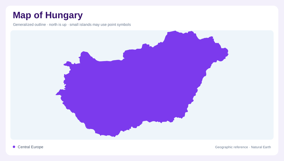
Hungary lies in Central Europe within the broader Carpathian Basin. It is landlocked, with the Danube and Tisza providing major river axes across a landscape dominated by plains and lower uplands. Austria, Slovakia, Ukraine, Romania, Serbia, Croatia and Slovenia surround it. The mountainous rim visible on a wider regional map mostly lies beyond Hungary, but that surrounding relief helps explain the country's basin setting. A national outline alone hides the upstream origins of much of its river water. The plains therefore make most sense when seen within the larger drainage region, rather than as an isolated flat area bounded by political frontiers.
The Danube turns among hills
North of Budapest, the Danube Bend creates a striking change of direction within a hilly landscape. The Börzsöny and Visegrád hills frame the river's curving passage, while the Pilis range lies on the western side of the wider bend region. This setting contrasts with the river's broader lowland stretches farther south. A bend is more than an irregular blue line: adjoining slopes and valleys explain its physical enclosure. At close scale, the hills become distinct landforms rather than a single elevated band. Their presence also challenges an oversimplified picture of Hungary as uniformly level country from one border to another.
Pilis terrain and small waterbodies
The Pilis and Visegrád area contains varied rock types, including limestone and volcanic materials. Valleys reflect both structural influences and erosion, producing a terrain mosaic within a small region. Small ponds occur in natural depressions and behind artificial barriers in valleys. Their modest size means many vanish at national scale, although they remain important local habitat features. A lake symbol does not reveal whether a waterbody formed through ground movement, slope processes or impoundment. Reading these smaller waters against the surrounding geology makes the hill country more intelligible and distinguishes it from the river plains occupying much of Hungary.
Hortobágy within the Great Plain
Hortobágy occupies part of the Great Hungarian Plain and is associated with the open landscape called puszta. Its alkaline grasslands coexist with marshes, fishponds and smaller wooded patches, rather than forming an entirely uniform dry steppe. The Tisza historically influenced this landscape through meandering and flooding. River regulation subsequently changed those connections, leaving a physical pattern shaped by both natural processes and engineering. This history matters when interpreting old channels or wetland remnants on a map. Their position may reflect former floodplain relationships even where the present river course or embankments no longer allow the same movement of water.
Lakes and contrasting western country
Lake Balaton gives western Hungary an inland water reference, distinct from the Danube and Tisza corridors. Surrounding hills and lower shores add variety beyond the eastern plains. Budapest, astride the Danube, similarly brings together river frontage and differing terrain on either side. These features should be kept separate from administrative labels, which do not explain their physical origin. The country's map becomes richer when the large plains, western lake country and northern hill landscapes remain visible together. Hungary's broad basin setting provides the common frame, while river bends, floodplain remnants and local uplands account for the contrasts encountered within it.