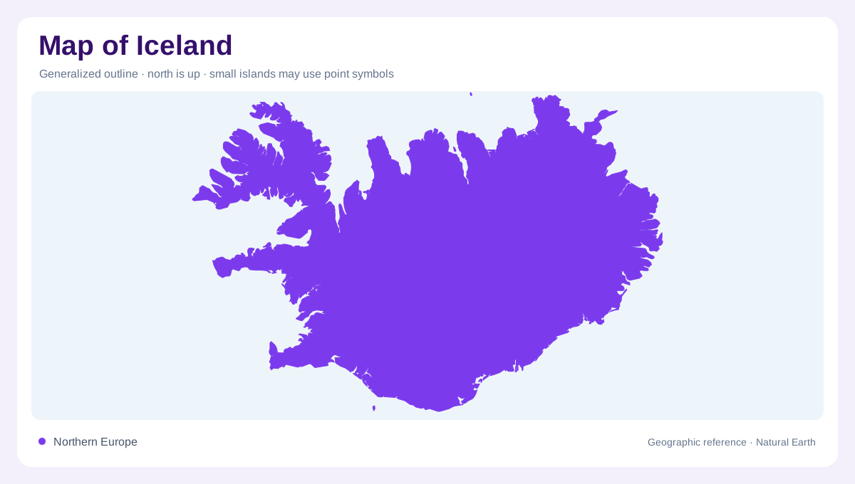
A North Atlantic island near the Arctic Circle
Iceland lies in the North Atlantic, mostly just south of the Arctic Circle, between Greenland and the European mainland. It has no land border with another country. Its broad east to west span contains deeply indented coasts, inland high ground and extensive volcanic landscapes. Smaller islands around the coast belong in the geographic picture too, rather than being dismissed as decorative dots. The main island's latitude creates strong seasonal contrasts in daylight, but coastal position and terrain also shape local conditions. A regional locator establishes the ocean setting; detailed maps then reveal the different environments enclosed by the national outline.
A southwestern concentration of settlement
Reykjavík lies in the southwest, where the capital area forms Iceland's main concentration of settlement. Much of the remaining population is distributed around coastal towns and farming regions. This pattern differs markedly from an evenly inhabited interior. Akureyri provides a northern reference, Ísafjörður anchors part of the Westfjords, and Egilsstaðir is an eastern locality. On a country map, those labels help orient regions without implying that development fills the land between them. Comparing settlement symbols with relief and ice cover explains why a sparsely labelled central area can still contain some of Iceland's most distinctive landforms.
Glaciers beside volcanic landscapes
Iceland combines extensive glaciers with lava fields and volcanic craters. Vatnajökull is an ice cap, meaning a body of land ice smaller than an ice sheet, rather than a single valley glacier. Hvannadalshnúkur is the country's highest summit. Ice, rock and volcanic landforms overlap, so a white area on a map should be distinguished from bare high ground or seasonal snow. The apparent smoothness of an ice surface does not reveal all the terrain beneath it. A geological map and glacier map therefore provide different information, even where they describe the same part of Iceland's interior or southern highlands.
Coastal complexity and smaller islands
The Westfjords create an intricate northwestern outline, while other coasts include fjords, bays and broader open stretches. Heimaey belongs to the Westman Islands south of the mainland; Hrísey lies within Eyjafjörður in the north; Grímsey sits farther offshore near the Arctic Circle. Their settings differ despite all being labelled islands. One lies in an open southern archipelago, another within a fjord, and another well beyond the main northern coast. Preserving those relationships is more useful than showing each at the same enlarged size. Sea gaps and enclosing shorelines explain the geography that an isolated island symbol would otherwise conceal.
Water, sand and the interior frame
Lakes, rivers, sand plains and lava fields occupy distinct parts of Iceland's surface. Þingvallavatn supplies a lake reference in the southwest, while glacier fed drainage links inland ice with lower coastal terrain. These surfaces are not interchangeable empty spaces between towns. A broad sand plain has a different origin and drainage pattern from a lava field, even when both appear sparsely vegetated. Reading Iceland through several layers clarifies that distinction: settlement around the coast, volcanic and glacial land inland, and water connecting them. The national map becomes most informative when those physical areas remain visible instead of disappearing beneath a route line or dense attraction labels.