A state divided by relief
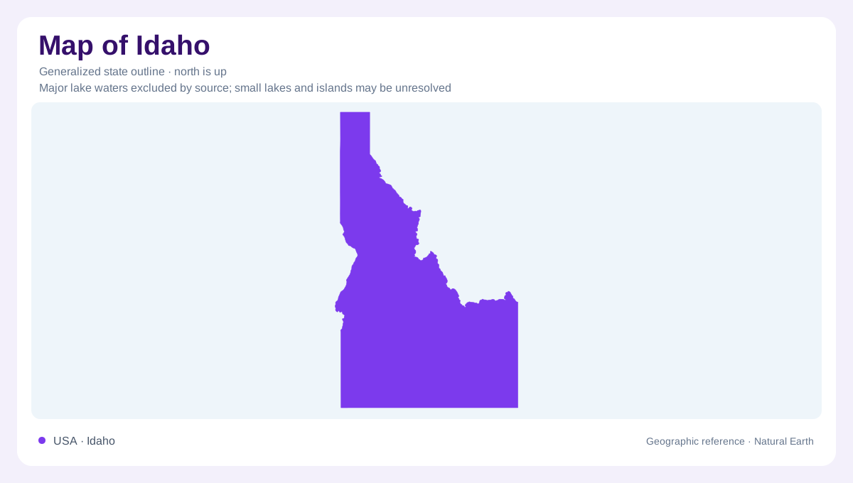
Idaho's outline narrows northward into a panhandle and broadens across the south, but its most consequential divisions lie within that boundary. Mountain terrain occupies much of the interior, while lower basins and river valleys offer a contrasting geographic framework, including sediment-filled spaces between mountain blocks. Boise in the southwest and Coeur d'Alene in the north belong to different regional settings, despite sharing a state government. Distances between places therefore need to be understood alongside the intervening relief. A simple perimeter cannot communicate the mountain barriers separating valleys or the considerable differences between the northern landscape and the much drier lowlands of southern Idaho.
Volcanic ground beneath the plain
The Snake River Plain provides a major southern reference, with volcanic rocks and sedimentary deposits interleaved beneath its surface. Lava does not necessarily produce a smooth landscape. At Craters of the Moon, rough lava fields meet sagebrush desert, creating a distinctive high desert environment. The volcanic surface is part of Idaho's geography, not an extension of the surrounding mountain ranges. Differences between individual flows, sediment layers and fractures also matter below ground. Some spaces within basalt transmit water readily, while less permeable layers interrupt that movement. The plain thus has both a visible landform and a concealed water system.
Mountains as a seasonal reservoir
Northern and central mountains receive considerably more rain and snow than the sheltered southern lowlands. Much precipitation arrives during the cooler part of the year, accumulating as mountain snow before warmer conditions release it. Idaho's water geography therefore connects elevations and seasons: snow stored above the valleys can support flows after the storm season has passed. The state boundary does not isolate this process, because rivers belong to larger drainage networks. Most of the surrounding Pacific Northwest region drains toward the Columbia system, while parts of the broader interior drain into closed basins or toward the Great Salt Lake.
Valleys, irrigation and groundwater
Settlement and farming concentrate in lowlands more readily than in rugged uplands. Across the regional valleys described by the Geological Survey, alluvial sand and gravel form useful aquifers, while irrigation draws on both rivers and wells. Along the Snake, water can be lifted from the river to higher neighboring land. This makes a green cultivated tract different from evidence of a naturally wet climate. The relationship also runs in the opposite direction: groundwater discharges through springs in the Snake River Canyon. Rivers, aquifers and irrigated ground should consequently be understood as interacting parts of the landscape rather than separate features.
Reading Idaho above and below ground
Two additional maps would answer questions the outline cannot: an elevation map distinguishes enclosed valleys from high ridges, and an aquifer map describes water beneath the surface. Neither should be substituted for the other. A broad basin may contain several kinds of sediment and volcanic rock, each storing or transmitting water differently. Likewise, a mountain snowfield and an irrigated lowland may be geographically connected despite their contrasting appearance. Idaho becomes more legible when its northward reach, mountainous interior and southern plain are considered alongside those water connections, instead of treating the entire state as uniformly forested, mountainous or dry.