From a Great Lake to a confluence
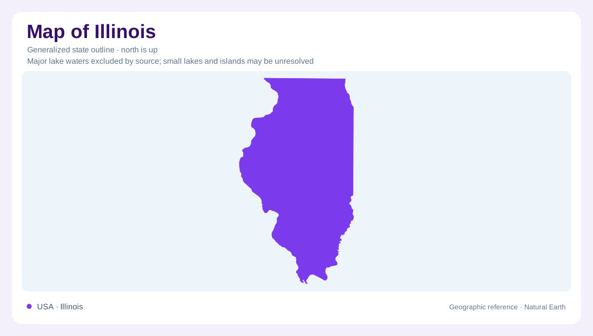
Illinois stretches between two very different water settings. Lake Michigan meets its northeastern edge, while the Ohio and Mississippi converge at Cairo Point near its southern tip. Chicago and Cairo consequently anchor contrasting geographic perspectives: one faces a vast lake, the other a junction of continental rivers. The length of the state matters alongside this difference. Northern and southern districts experience different temperature and precipitation patterns even without a major mountain barrier between them. An outline establishes the overall shape, but it cannot convey how lake influence, river position and inland distance divide the landscape into different settings.
Ice reshaped the central lowlands
Across much of Illinois, glacial deposits conceal an older surface. Till, meltwater deposits and former lake plains contribute to the relatively subdued terrain of the Central Lowland. Low, curved moraine ridges record pauses or changes during ice retreat, creating relief that is less dramatic than a mountain range but still geographically meaningful. A field that appears level may therefore sit on material deposited by ice or meltwater rather than on exposed bedrock. The distinction helps explain why surface elevation alone cannot identify the underlying geology. Illinois's broad plains are products of landscape change, not evidence that little happened here.
An older river beneath today's land
Central Illinois contains part of the buried Teays-Mahomet valley system. Sand and gravel within these ancient bedrock valleys can store and transmit substantial groundwater even though the former channels are hidden beneath younger deposits. This is a separate geography from the rivers visible at the surface. Modern drainage need not reproduce every bend or connection of the buried network. Fine-grained sediment can also confine water-bearing layers, so neighboring locations may have different underground conditions. The Mahomet example makes a useful distinction between an outline map, a surface river map and a subsurface map: each represents a different layer of Illinois.
Where bedrock interrupts the cover
Glacial material is not equally extensive everywhere. In northwestern Illinois's Driftless Area, older Silurian and Ordovician rocks reach the surface in local outcrops, creating a contrast with the deeply covered central districts. Bedrock also crops out along the southwestern transition toward the Ozark Plateaus. Farther south, the state includes terrain beyond the main glacial lowland setting. These variations caution against treating Illinois as an uninterrupted agricultural tableland. Rock type, erosion and the thickness of younger deposits influence local slopes and valleys. A regional reading should preserve these exceptions, because the statewide dominance of low-relief country can otherwise conceal the places where its geologic foundation becomes exposed.
Water and weather follow larger systems
Lake Michigan moderates nearby northeastern temperatures, while much of inland Illinois remains open to cold northern air and warm, humid air arriving from the south. Rainfall generally increases southward; snowfall follows a different pattern, with greater totals toward the northeast. At Cairo, two major rivers bring water from far beyond Illinois, linking the southern tip to a continental drainage network. Local rainfall is therefore only one part of river behavior there. Together these relationships explain why a northern lakeshore, a central glacial plain and a southern confluence belong to the same state but require different geographic interpretations.