A mainland framed by two seas
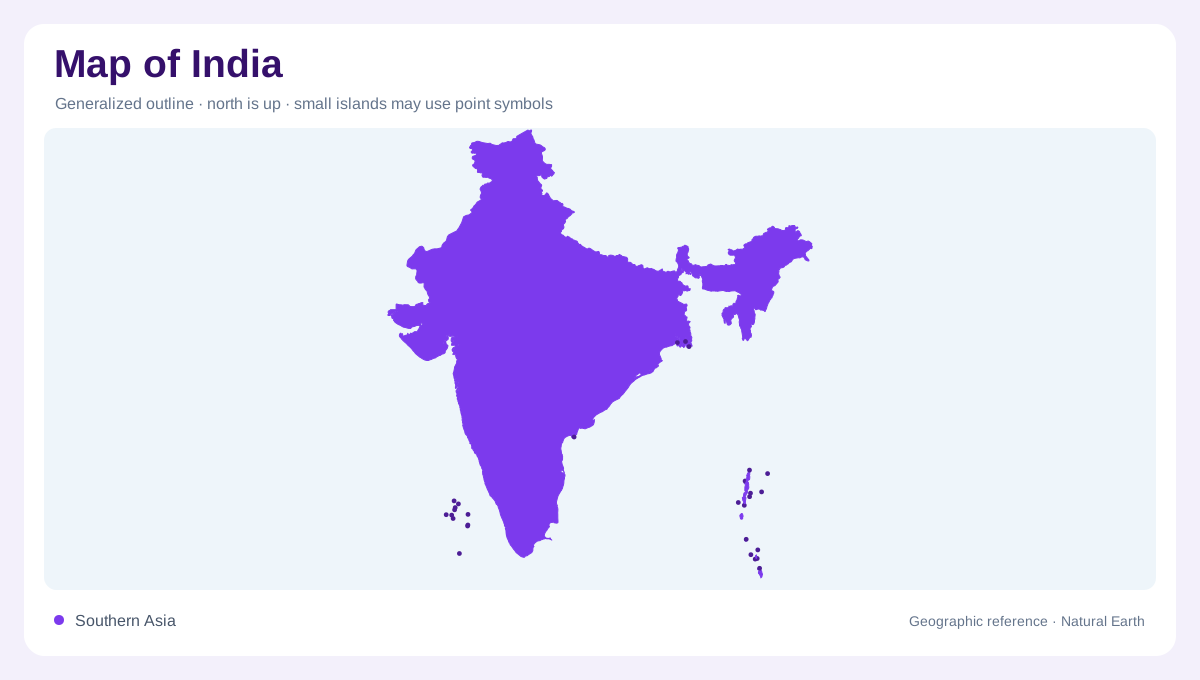
India extends from the Himalayan region into a broad peninsula between the Arabian Sea and Bay of Bengal. The Indian Ocean lies beyond its southern tip. This large northward base and narrowing southern form provide a first orientation, but they do not encompass every part of the country. Lakshadweep lies offshore in the Arabian Sea, while the Andaman and Nicobar islands extend through the eastern waters. Keeping both island groups visible prevents mainland geography from becoming the entire national picture. Boundary depictions in disputed border regions require their own legend; an outline should not be interpreted as resolving competing territorial claims.
Snowmelt and the northern plains
The Himalayan river systems include the Indus, Ganges and Brahmaputra. Their water comes from rainfall as well as snow and glacier melt, linking mountain conditions with extensive plains below. These systems cross national boundaries, so the relevant geographic frame extends into neighbouring countries. The Ganges and Brahmaputra continue toward Bangladesh, while the Indus system connects the northwestern region with Pakistan. On the plains, large tributaries and low gradients produce a very different pattern from steep headwater valleys. Reading the mountain sources and the downstream network together explains why distant places can belong to the same river basin despite very different terrain.
The Deccan's unequal river directions
South of the Vindhya and Satpura ranges, peninsular India contains the Deccan's extensive upland landscapes. The Godavari, Krishna, Mahanadi and Cauvery drain toward the Bay of Bengal, while the Narmada and Tapi reach the Arabian Sea. This contrast is more informative than assuming rivers descend equally toward both coasts. Western coastal rivers south of the Tapi often have short catchments between higher ground and the sea. Larger eastward systems collect water over much broader areas. Their channels, tributaries and coastal outlets reveal the peninsula's internal slopes, showing how the apparent symmetry of its outline conceals an uneven drainage structure.
Dry basins of the northwest
Western Rajasthan includes inland drainage where ephemeral channels may end in salt lakes or disappear into sandy terrain. Sambhar is one named example of an inland salt lake. These basins differ fundamentally from rivers that maintain a connection with the sea. A channel can be geographically real without carrying water throughout the year, and its symbol should not be mistaken for a permanent supply. The contrast between these dry northwestern landscapes and the Himalayan rivers demonstrates India's hydrological range. Rainfall distribution matters as much as river length when interpreting how different regions gather, retain or lose their water.
Monsoon patterns across many landscapes
The southwest monsoon supplies a seasonal share of river flow, but rainfall varies strongly across India in both space and time. Mountain barriers, coastal exposure and inland position all contribute to those differences. A national average therefore describes neither a particular district nor a particular season. Island maps introduce additional settings: the Arabian Sea group and the long eastern archipelago occupy separate maritime environments far from many mainland basins. The most coherent reading joins these scales while preserving their differences, from Himalayan headwaters to peninsular divides and offshore land, without treating one river, climate or coastline as representative of all India.