A lake edge and an inland state
Indiana touches the southern end of Lake Michigan, yet most of its territory extends inland beyond that coastal setting. The distinction is geographically important: a short shoreline opens onto one of the Great Lakes, while interior districts belong to landscapes shaped by ice, rivers and exposed bedrock. Lake influence also extends beyond the immediate beach through moderated temperatures and lake-effect snow, which can reach Elkhart, away from the immediate shoreline. It does not make the whole state climatically uniform. Indiana's north-south temperature contrast reflects its continental position, where cold air from the north and warm, humid air from the south can move across largely unobstructed regional terrain.
Successive shores behind the beach
At Indiana Dunes, sand ridges and intervening wetlands preserve stages in Lake Michigan's history. The present beach is only the youngest part of this arrangement. Farther inland, the Tolleston, Calumet and Glenwood dune systems record earlier shorelines, with older ridges supporting established oak woodland. Their parallel position makes more sense when read as successive lake margins rather than unrelated hills. Wind and waves continue to reshape the modern shoreline, while wetlands occupy many lower spaces behind it. This close juxtaposition of sand, water and forest accounts for much of the area's geographic variety within a comparatively narrow coastal strip.
Glacial deposits hide earlier valleys
Away from the lakeshore, the Central Lowland includes plains and low moraine ridges constructed from glacial material. Beneath them, former bedrock valleys can contain thick accumulations of sediment. The buried Teays-Mahomet system extends through Indiana and neighboring states, demonstrating that older drainage connections survive below a substantially altered surface. Coarse sand and gravel can form productive aquifers, whereas unsorted till often transmits water less readily. Similar-looking fields may consequently overlie different water-bearing materials. The surface pattern of streams offers only part of the evidence needed to understand groundwater or reconstruct the landscape that existed before the glaciers rearranged it.
Southern bedrock changes the water pathways
Toward the southern part of Indiana, bedrock assumes a greater role in the geographic picture. The wider Interior Low Plateaus contain exposed limestone, dolomite and sandstone, rather than the extensive glacial covering characteristic of the Central Lowland. Water moves through fractures and bedding openings, with dissolution enlarging passages in carbonate rocks. Springs are a characteristic expression of this underground circulation. Southwestern Indiana also contains sandstone within coal-bearing sedimentary sequences. These differences matter because neither all southern rocks nor all groundwater systems behave alike. Rock layers, their openings and the sediments above them jointly determine how water crosses the landscape.
Interpreting contrasts at the right scale
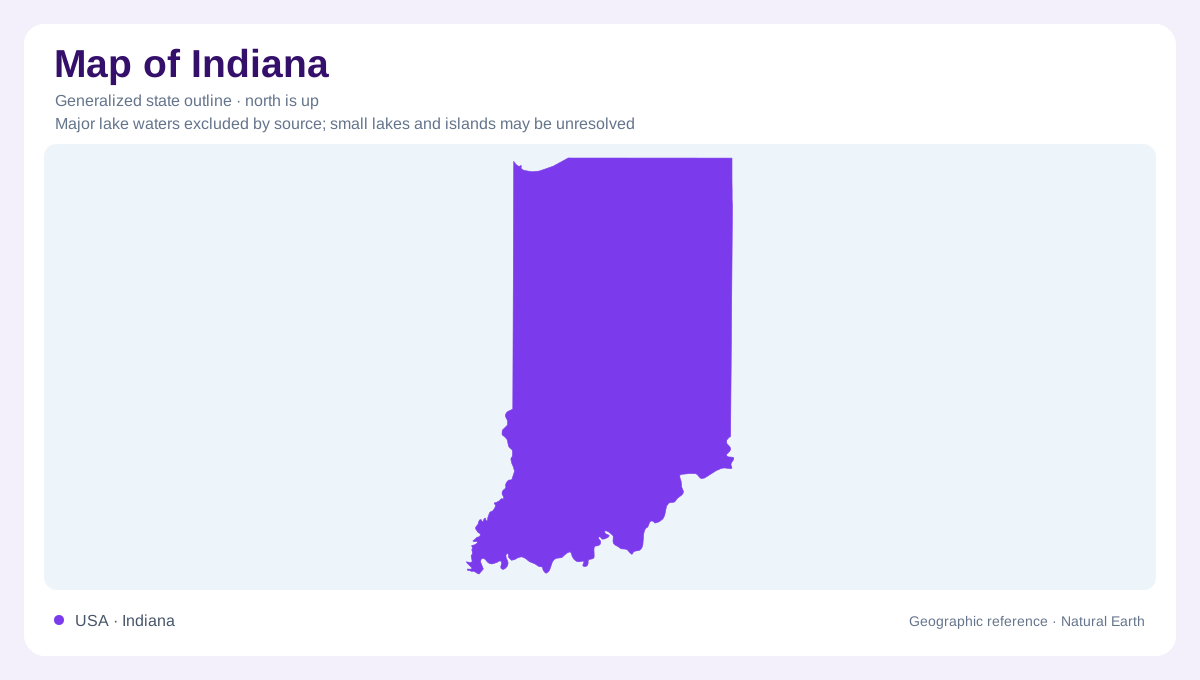
Indiana Dunes and a buried inland aquifer require very different kinds of geographic evidence. A coastal cross section reveals older shore ridges and wetlands, while a geological section explains sediments hidden below the plains. Regional climate information adds another layer: Lake Michigan's influence weakens inland, yet lake-effect snowfall can reach north-central Indiana. The state's outline provides a reference for locating these relationships without displaying their detail. Understanding Indiana therefore involves changing scale from the Great Lakes margin to individual glacial ridges, and from broad bedrock regions to the particular valleys where surface and underground water meet.