A country spread through equatorial seas
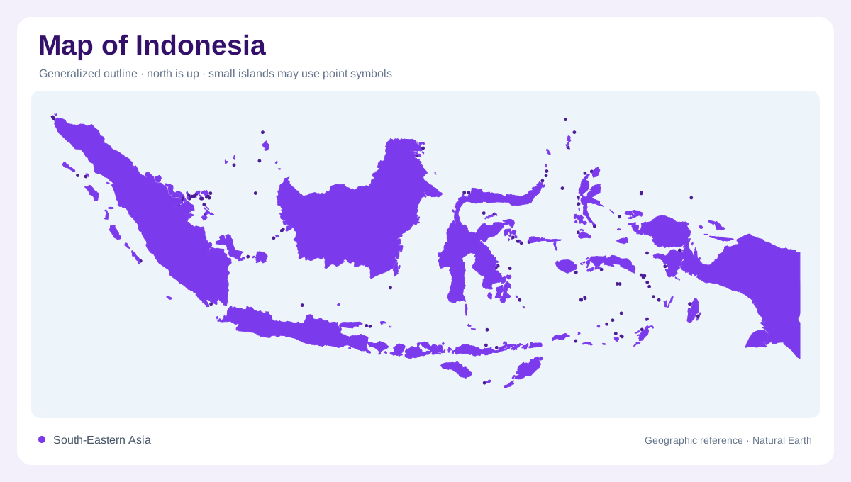
Indonesia extends across a tropical archipelago between mainland Southeast Asia and the waters north of Australia. Sumatra and Java anchor the western picture, while Kalimantan, Sulawesi, Nusa Tenggara, Maluku and western New Guinea add different island settings. These names mix individual islands with broader island regions, so they should not all be interpreted as equivalent single landmasses. Kalimantan occupies the Indonesian portion of Borneo, and western New Guinea shares a larger island with Papua New Guinea. A complete map needs the intervening seas, whose breadth makes the national territory fundamentally different from a continuous continental country.
Long islands and mountain spines
Many of Indonesia's major islands contain mountain ranges extending through much of their length. Volcanic terrain is prominent, especially along the southern island arc, but the archipelago should not be reduced to a chain of identical volcanic cones. Mountain interiors, river lowlands and coastal plains occur in different proportions from island to island. Java's elongated shape produces a different catchment arrangement from Sulawesi's branching peninsulas. At a broad scale, relief can disappear beneath island labels. Restoring it shows how an apparently nearby coast may lie across a mountain divide, while another shoreline is connected by the valley immediately below a locality.
Large catchments on larger landmasses
Sumatra, Kalimantan and western New Guinea contain extensive drainage systems whose inland areas are much larger than those of many smaller islands. Rainfall and groundwater contribute differently across these regions, making a national water total a poor guide to any particular catchment. Broad lowlands can receive runoff from distant mountain interiors, whereas narrow islands often have short rivers descending toward nearby shores. The contrast is geographic rather than simply a difference in river names. Basin boundaries reveal which parts of an island share water sources and which lie on opposite slopes, even where their coastlines face the same surrounding sea.
Java and the uneven settlement pattern
Java holds a concentrated share of Indonesia's settlement and cultivated landscape. Jakarta lies on its northwestern coast, providing one prominent urban reference without defining the whole archipelago. Water demand and natural water availability are distributed unevenly across the islands. That imbalance explains why dense urban labels and large river basins do not necessarily coincide on a national map. Within Java, volcanic uplands and lower coastal districts create additional contrasts. A settlement view is therefore most informative when paired with drainage and elevation, allowing the position of a city or agricultural plain to be understood within its actual island catchment.
Eastern islands require their own scale
Nusa Tenggara and Maluku comprise numerous separated islands, while western New Guinea contains extensive highland and lowland terrain. Their regional rainfall patterns differ, with Nusa Tenggara generally drier than the wetter western New Guinea region. An inset that places these areas beside Java can clarify detail but also obscure real distance unless its scale is explicit. The same caution applies to island counts, which depend on definitions and mapping. Indonesia's enduring geographic structure is clearer than any headline total: multiple island regions, intervening seas, varied mountain interiors and distinct catchments. Preserving those relationships prevents the country from becoming a row of interchangeable offshore shapes.