More than a level farming landscape
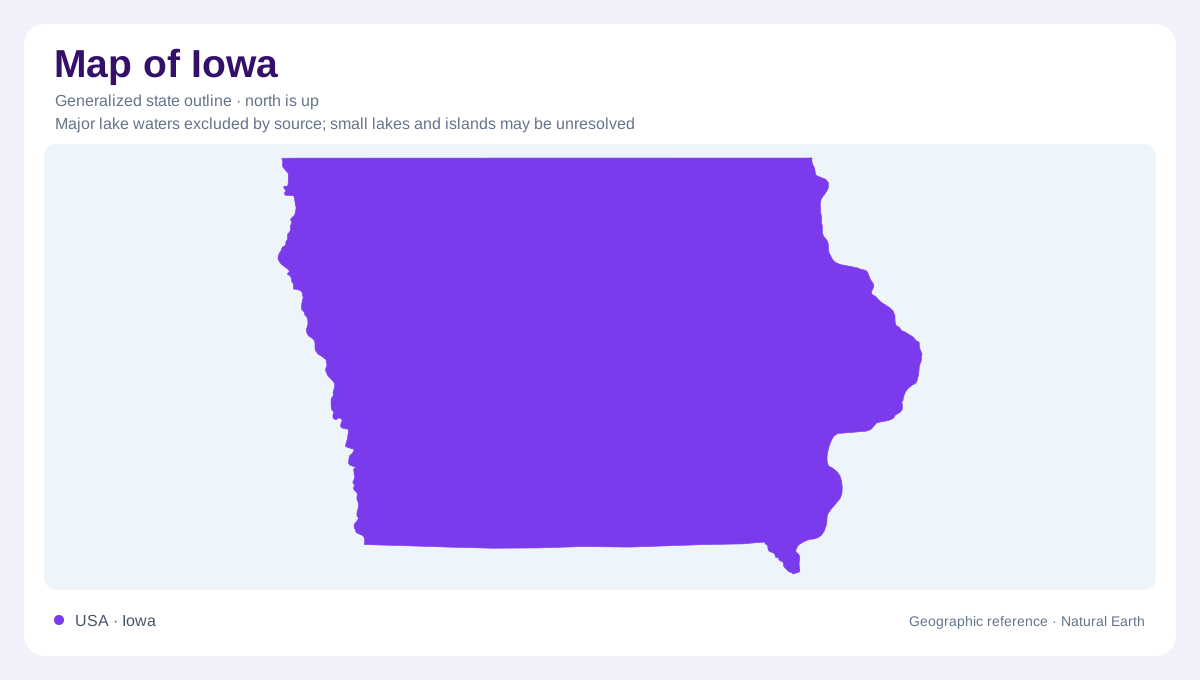
Iowa's geography is organized by several landscapes with different histories, rather than one continuous flat plain. Western loess hills, northern glacial basins left by retreating continental ice, southern stream valleys and northeastern rocky uplands create distinct patterns within the state boundary. Farming occupies much of the landscape, but agricultural use does not mean the underlying landforms are identical. The Mississippi and Missouri river corridors provide broad eastern and western reference points, while smaller streams cut through the interior. An outline supplies the statewide frame; understanding why particular districts are hilly, wet or rocky requires looking at the materials and processes inside it.
Wind built the western hills
Along western Iowa, the Loess Hills rise above the Missouri River valley in a narrow belt. Their principal material is windblown silt, not a mountain backbone of exposed rock. That distinction helps explain their steep slopes and sensitivity to erosion when surface cover is disturbed. The belt continues beyond Iowa into Missouri, showing how a landform can cross a political boundary. Loess also blankets other Iowa regions, but here its accumulation creates especially conspicuous hills. A profile across the valley and adjacent uplands would reveal this relationship better than assuming the river floodplain and neighboring slopes share one origin.
A younger landscape in the north
The Des Moines Lobe retains a comparatively young glacial landscape with moraines, shallow wetland depressions and some deeper natural lakes. Unlike surrounding loess-covered regions, it lacks that windblown mantle. Its drainage history matters as much as its surface shape: many prairie potholes were drained through ditches and underground tiles for agriculture. Consequently, present fields may occupy former wetland basins without erasing the glacial structure beneath them. The region belongs to a broader prairie pothole landscape extending north and west beyond Iowa. Statewide mapping should distinguish these inherited depressions from artificial ponds and from the floodplains of established river channels.
Time carved the southern plain
The Southern Iowa Drift Plain records much older glaciation. Streams had longer to dissect its deposits, producing established drainage networks and a rolling landscape with pronounced valleys. Similar summit heights can preserve the approximate level of an earlier surface even where erosion has cut deeply between them. Loess later covered much of this older glacial material. During melting farther north, increased river flows helped shape major valleys and distribute their alluvial fill. The result is a landscape whose hills are largely remnants of erosion, contrasting with the younger glacial ridges and basins farther north despite both regions containing glacial deposits.
Rock and groundwater in the northeast
The Paleozoic Plateau introduces another pattern: exposed bedrock, narrow valleys, wooded slopes and karst features. Springs emerge where underground water reaches valley sides, and limestone cavities can help create sinkholes. Shaded ravines support cool, moist environments unlike open agricultural uplands. Nearby, the Iowan Surface has gentler slopes and scattered elongated hills called pahas, providing a further reminder that northeastern Iowa is not uniform. Along rivers throughout the state, floodplains add younger deposits and abandoned channels. These overlapping regions explain Iowa more effectively than its outline alone: wind accumulation, glacial deposition, stream erosion and groundwater each leave a different spatial signature.