Different waters on opposite margins
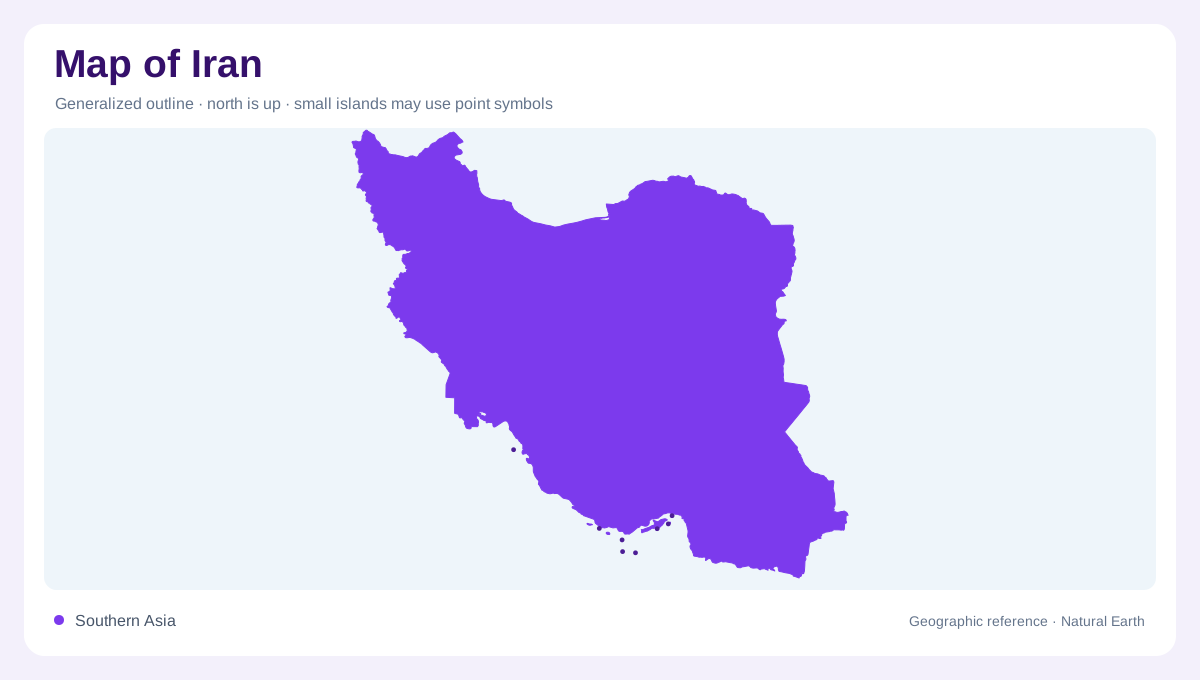
Iran lies between the Caspian Sea in the north and the Persian Gulf, Strait of Hormuz and Gulf of Oman in the south. Turkey and Iraq adjoin its western side, while Afghanistan and Pakistan lie to the east. Armenia, Azerbaijan and Turkmenistan form additional northern neighbours. These surrounding waters are not equivalent outlets: the Caspian is an enclosed inland sea, while the southern coast connects with the ocean. A map that colours every waterbody blue can conceal that difference. Iran's mountain rims and interior basins help explain which areas drain outward and which retain water within enclosed systems.
The Zagros along the western side
The Zagros form a mountain belt running southeastward from northwestern Iran along the western and southern side of the interior. Folded ridges and intervening valleys give this region a strong directional grain. It should not be represented merely as a line of isolated high peaks. Catchments on different sides of a ridge can connect with different downstream landscapes, and mountain barriers separate nearby places more effectively than their straight distance suggests. On a national relief map, the Zagros provide a clear contrast with the central plateau. Their extent also explains why southwestern rivers gather water from upland source areas.
Northern ranges and the Caspian strip
Mountain ranges along the Caspian's southern edge separate its coastal region from the inland plateau. The Alborz are the most familiar northern reference, creating a pronounced transition over short distances. Rainfall near the Caspian can be far greater than in Iran's deserts, showing that the country does not share one uniformly dry climate. Coastal lowland and mountain slope should therefore be distinguished from the interior beyond the divide. The same northward facing maritime setting does not extend through the mountains unchanged. Relief and exposure together explain a contrast that latitude or a national climate average would leave largely invisible.
Salt basins of the interior plateau
The central plateau lies within the surrounding mountain framework and contains extensive closed drainage areas. Salt flats, sandy ground and stony surfaces occur alongside better watered foothill margins. Water entering an interior basin need not find a route to the sea; evaporation can leave concentrated salts behind. This process gives inland depressions a different meaning from coastal river valleys. The Markazi basin occupies a large share of Iran, while Lake Urmia forms a separate northwestern basin and the Hamun region lies toward the eastern border. A lake or wetland outline in such settings should be read with its date because water extent varies.
Rivers crossing the mountain frame
The Karun drains southwestern Iran toward the Shatt al-Arab system and Gulf, linking the Zagros region with lowland waters beyond the mountains. The Helmand brings an eastern connection from Afghanistan, while the Aras follows part of the northwestern frontier region. These international relationships differ from the closed basins occupying much of the interior. A useful water map separates them instead of implying that all channels eventually reach the same coast. Iran's physical pattern emerges through that distinction: mountain source areas, enclosed plateau depressions, the humid Caspian margin and southern ocean drainage, each with a different position in the country's wider structure.