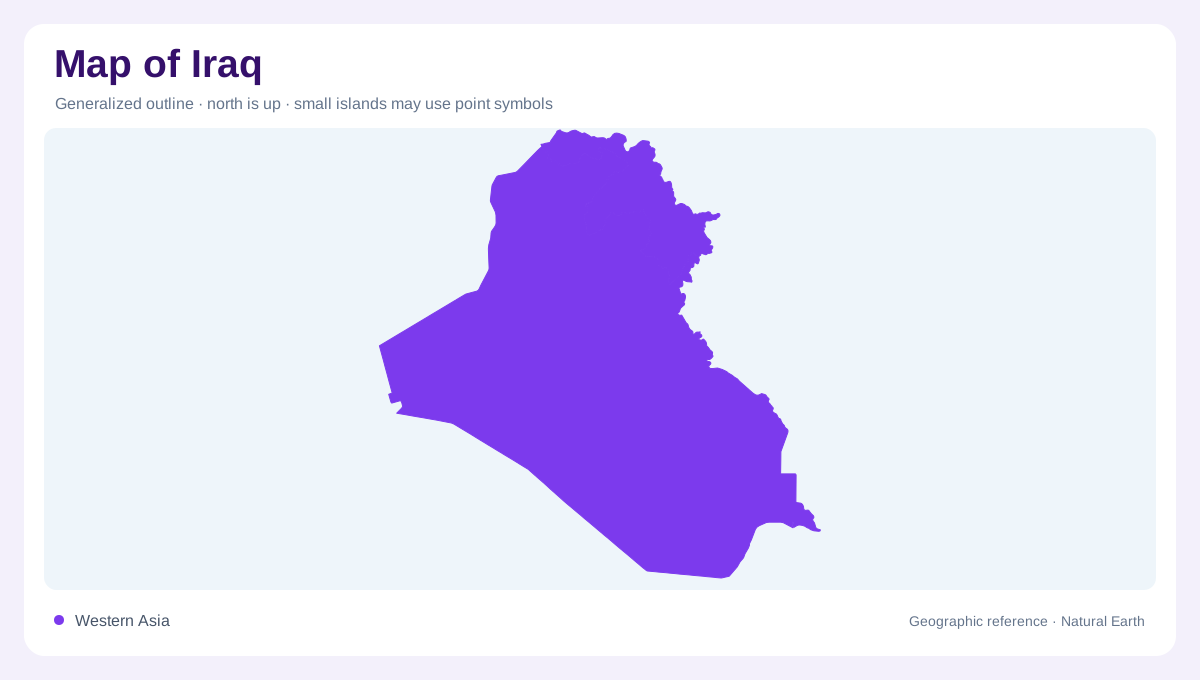
A basin between mountains and desert
Iraq's central defining physical feature is the Mesopotamian alluvial plain, organised around the Tigris and Euphrates. Mountains rise to the north and east, while desert country occupies extensive western and southern areas. The country meets Turkey, Iran, Kuwait, Saudi Arabia, Jordan and Syria, with a short southeastern opening toward the Gulf. That small maritime edge contrasts with the enormous inland area draining toward it. On a physical map, the plain is best understood as a receiving landscape between higher and drier regions, rather than as an isolated strip of fertile colour detached from the catchments that deliver its water.
Two rivers with foreign headwaters
Both the Tigris and Euphrates originate in Turkey. Their courses within Iraq are therefore downstream sections of larger international systems. Although often paired in descriptions, the rivers do not gather water in identical ways. The Tigris receives several substantial tributaries from the mountainous side of the country, whereas the Euphrates crosses Iraq without an equivalent network of major tributaries. This asymmetry is visible when the map extends beyond the two main channels. It explains why their surrounding basins differ even where the rivers approach one another across the central plain. The national frontier marks neither river's beginning nor its full catchment.
Tributaries from the northeastern heights
The Greater Zab, Lesser Zab and Diyala connect the Tigris with northern and eastern uplands. Their headwaters and catchments include terrain outside Iraq, adding further transboundary relationships to the main river system. The Al-Adhaim drains an Iraqi basin and has a more intermittent character. These waterways should be distinguished from canals on the plain: tributaries gather runoff from their own landscapes, while artificial channels redistribute water. Reservoirs such as Dokan and Derbendi Khan occupy parts of this mountain drainage setting. Their outlines reflect impounded valleys and should be read alongside the rivers and ridges that establish the underlying basin geometry.
Marshes near the lower rivers
In southern Iraq, low gradients support a complicated relationship among rivers, channels and marshes. Hawr al-Hammar and Hawr al-Hawiza are important named wetland areas within this lower basin. Their extent is not fixed in the way a mountain summit's position is fixed; water supply and management influence the visible boundary between land and open water. A wetland map therefore needs a date and an explanation of its categories. Marsh symbols indicate a different landscape from a single broad river channel. They express the spreading and storage of water across low ground before the system reaches its final coastal outlet.
The Shatt al-Arab and the sea
Below the meeting of the Tigris and Euphrates, the Shatt al-Arab continues toward the Gulf. The Karun, arriving from Iran, joins this lower water system. This final reach links the inland plain with an estuarine environment where freshwater and marine influences meet. It should not be confused with the entire length of either upstream river. Reading Iraq from headwaters to outlet thus reveals nested scales: foreign source regions, Iraqi mountain tributaries, the central alluvial plain and southern marshes. The western desert belongs in that picture too, because its sparse drainage contrasts sharply with the dense river and canal geography farther east.