The country within the larger island
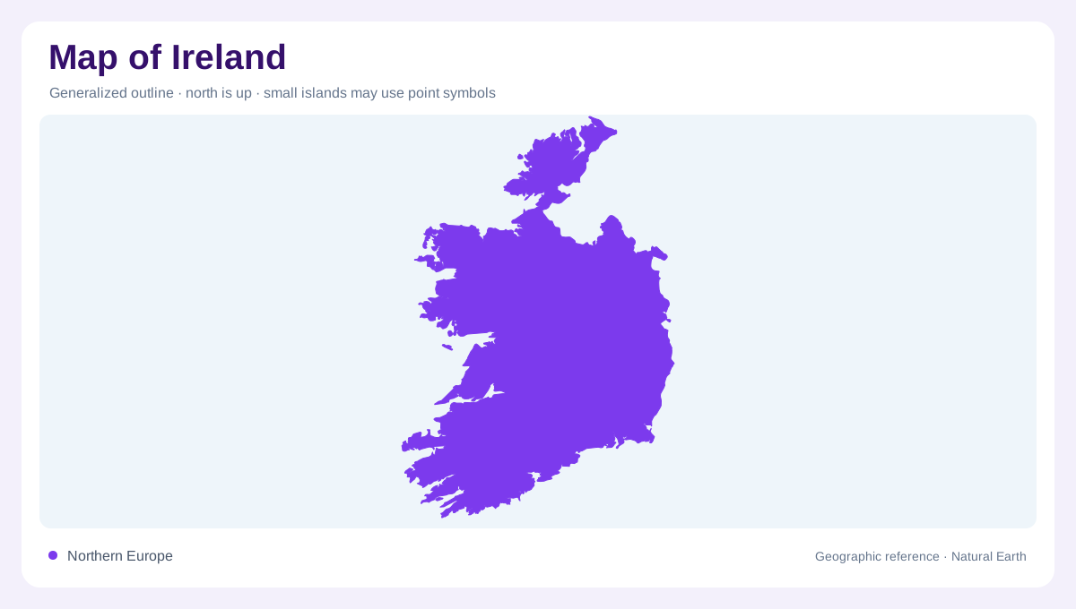
Ireland occupies most of the island of Ireland in the North Atlantic, west of Great Britain. Northern Ireland forms a separate jurisdiction in the northeastern part of the same island. A physical map may show the island as one landmass, while a country map must distinguish those extents. The Irish Sea lies along the eastern side, and the Atlantic shapes the western and southern maritime setting. Dublin provides an eastern coastal reference, but the country's outline includes more deeply indented Atlantic shores. Keeping political coverage and physical continuity separate prevents an island name from changing the territory described by the article.
Lowlands framed by higher margins
Much of central Ireland consists of lower terrain, with higher ground occurring in several peripheral regions. This pattern differs from a single mountain spine running down the island. Rivers, lakes and wetlands occupy portions of the interior, while the Atlantic margins include peninsulas, bays and offshore islands. At national scale, subdued central relief can disappear into a featureless colour band. Closer maps reveal catchments and low divides within that setting. The contrast between interior lowlands and mountainous coastal regions is useful, but neither category is uniform enough to explain every county, river valley or stretch of shore by itself.
The Shannon and broad inland waters
The Shannon provides a drainage axis through the interior before reaching the Atlantic through its southwestern estuary. Lakes along its course widen the river landscape, contrasting with the more confined channels of shorter coastal catchments. A river basin and a county boundary describe different kinds of geography, so the Shannon's tributaries should be followed across administrative lines. Other rivers drain toward eastern or southern shores, dividing the central and peripheral landscapes into separate outlets. This network helps explain how inland water relates to the coast without assuming that every lowland valley belongs to the same river or follows the nearest route seaward.
Kerry's mountains around Lough Leane
In southwestern Ireland, the landscape around Killarney combines mountains, woodland and lakes, including Lough Leane. This enclosed water setting contrasts with the central lowlands and open Atlantic frontage elsewhere in the southwest. Smaller nearby lakes occupy their own positions within the surrounding relief. A map showing only water outlines misses the slopes and wooded ground that define the basins. The Kerry biosphere area provides an example of several environments coexisting within one region. Mountains, lake shores, moorland and managed landscapes are adjacent without becoming interchangeable, and their differences become clearer as the map moves from county scale to individual valleys.
Rock, woodland and wet lake margins
Kerry's woodland types reflect contrasting substrates and drainage. Oak woodland occurs on sandstone, yew grows on limestone, and alder dominated wet woodland occupies poorly drained ground near parts of Lough Leane. Those relationships show why a green forest symbol cannot explain the landscape on its own. Geology and water position matter alongside vegetation. The same principle applies across Ireland's varied coastal and inland settings: a bay, lake or lowland should be read with its surrounding terrain. Joining the outline to these finer relationships preserves the distinction between the country's geographic extent and the local landscapes contained within it.