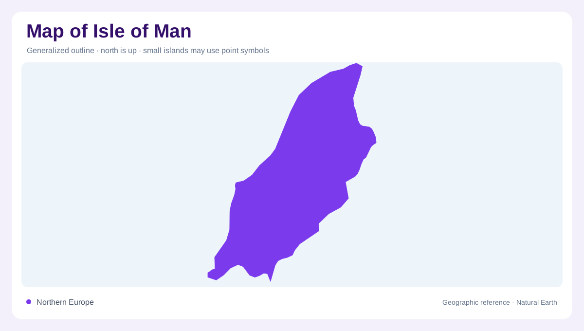
An island within the Irish Sea
The Isle of Man occupies a position in the Irish Sea, between the surrounding coasts of Britain and Ireland. Its elongated shape contains much more variation than a small regional outline reveals. Central hills rise above lower coastal areas, while cliffs, beaches, stacks and offshore islets give the shoreline different characters. A map should keep the island separate from both neighbouring landmasses rather than visually attaching it to the nearest coast. The maritime setting is essential, but so is the inland relief: the island is not a flat platform surrounded by uniform beaches or a single town with an offshore backdrop.
Hills cut by eastern glens
The central hill country contains peat reserves and valleys that divide its surface. On the eastern side, wooded glens cut into the uplands, creating narrow corridors between higher slopes and the coast. These valleys provide a different landscape from the exposed hilltops above them. Contours show their depth and direction, while vegetation maps reveal the contrast between wooded ground and open uplands. A shaded ridge alone cannot communicate both features. The relationship is useful when interpreting places near the east coast, where a short inland distance may enter a deeply incised glen rather than continue across level terrain.
The northern coastal plain
Northern parts of the island include a coastal plain with grasslands, pools and wetlands. Ballaugh Curragh is a notable wetland area within this lower setting. Its character contrasts with the central hills even though both lie within the same island outline. Low ground can hold water where slopes elsewhere drain quickly, making wetland location a useful clue to the island's relief. A land cover map should distinguish wet grassland and pools from surrounding farmland rather than showing every rural area as identical countryside. The northern plain gives the Isle of Man a lowland component alongside its more conspicuous upland spine.
Settlements around different shores
Douglas and Onchan form an eastern settlement area. Ramsey lies farther north, Peel on the west, and Castletown, Port Erin and Port St Mary provide southern reference points. Laxey occupies another eastern coastal setting. These names help orient the island, but their distribution should be read against bays, slopes and valley mouths. They do not form one uninterrupted ring of urban development. Comparing a settlement map with relief shows how different towns relate to different coastal landscapes. It also keeps the scale honest: a short apparent separation between east and west can include substantial upland ground between the two shores.
A landscape continuing beneath the sea
The surrounding seabed contains varied habitats, including seagrass and maerl beds and reef communities. Ramsey Bay provides a named marine setting where that underwater geography becomes particularly relevant. These environments cannot be inferred from the land outline alone. The island's biosphere coverage extends into its territorial waters, joining terrestrial and marine landscapes without making them the same type of surface. For map reading, that means distinguishing coastline, intertidal ground and deeper water habitats. Together with the central hills, eastern glens and northern plain, the maritime layer completes a picture of the Isle of Man as a compact but diverse island system.